45 almost epic adventures | South Island & Rakiura
Summer 2024–25
Ping! That was my Achilles tendon tearing. Three times.
52 weeks later, my official rehab is over.
Test hikes were successful. After much procrastination, I went up Fringed Hill, 798 m, behind Nelson on a 36 k step daywalk, and again, although the second time around it was just up to the 640 m mark due to poor weather. That was on a four-wheel-drive road to the communication transmitters, and I now needed a more vigorous outing.
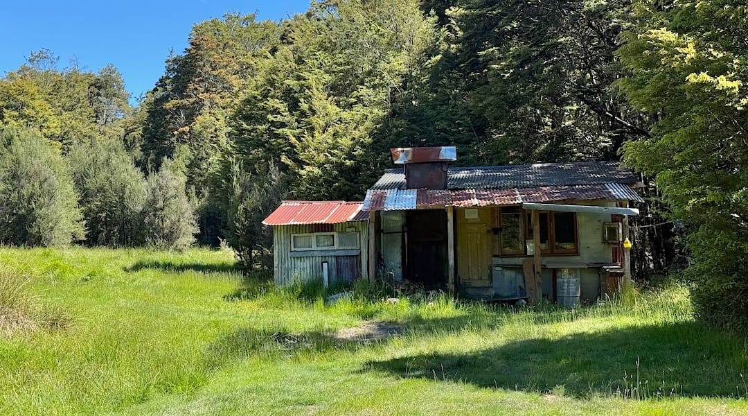
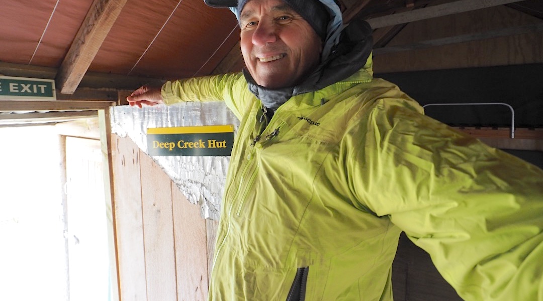
A day visit to Deep Creek Hut was needed to help complete my tour of every hut in the Nelson region of which there are 116 according to hutbagger.co.nz.
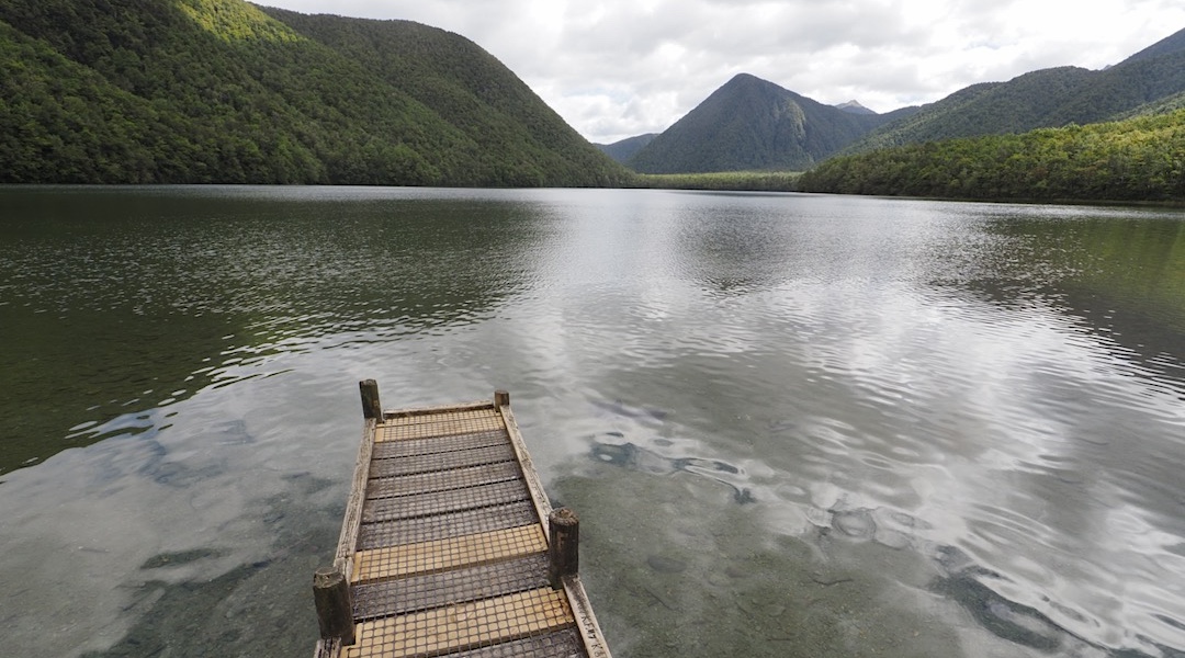
I camped at the Lake Cobb DOC campsite and set off via Myttons Hut up to the Cobb Range Ridge, a 700 m climb, then cruised along the marked track until I left that and descended 200 m without any accompanying track or markers.
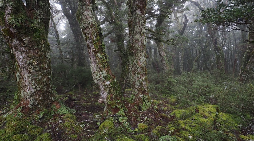
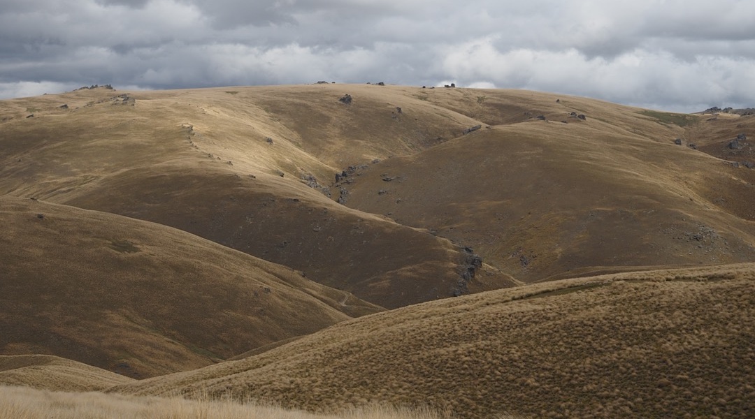
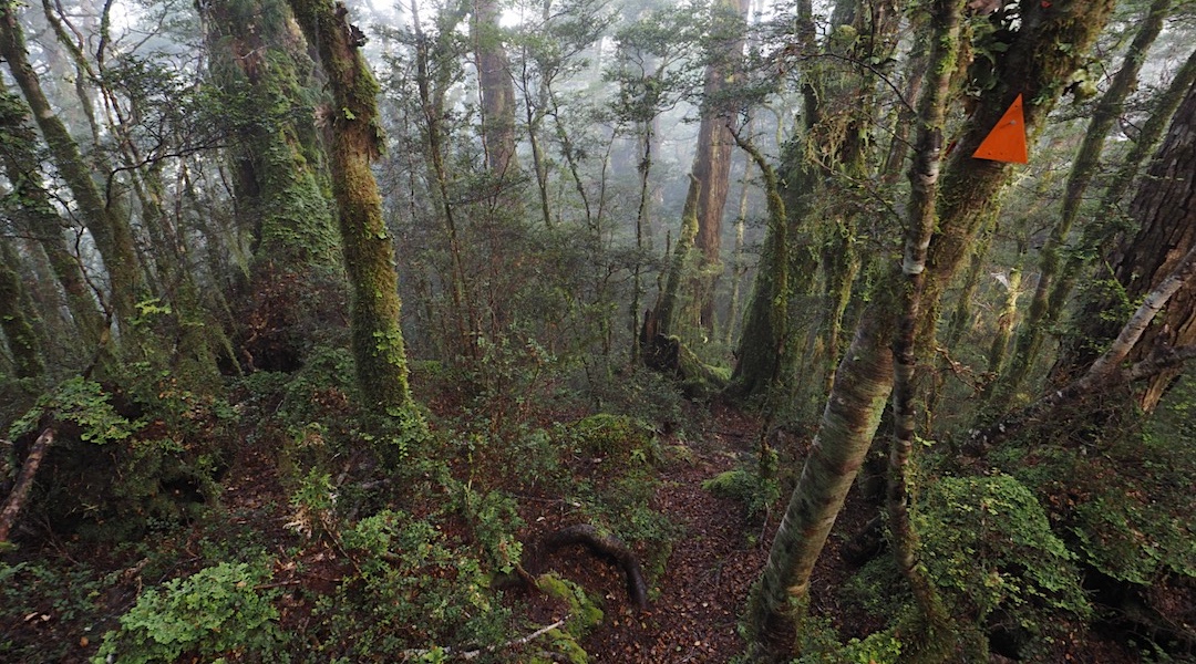
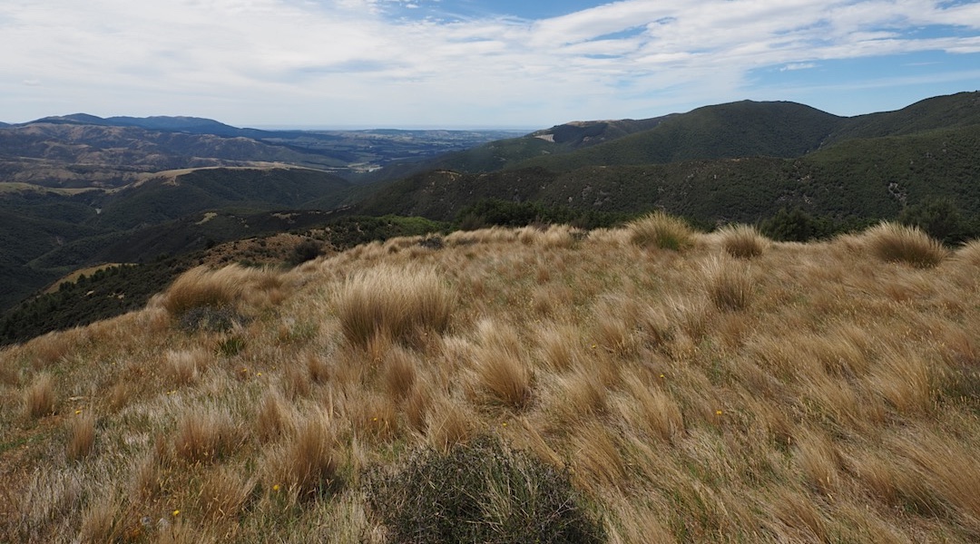
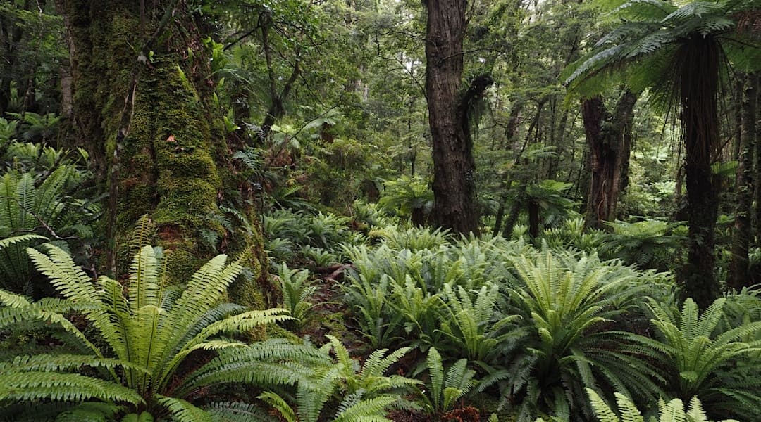
A reasonable test of my rehab over spongy tussock and then in a soft, mossy forest.
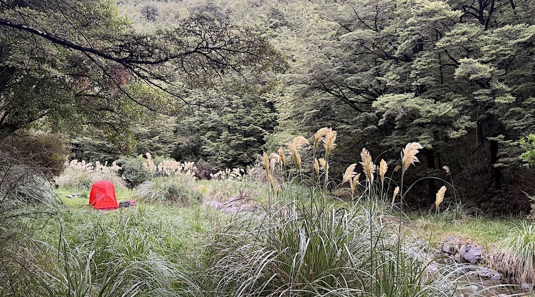
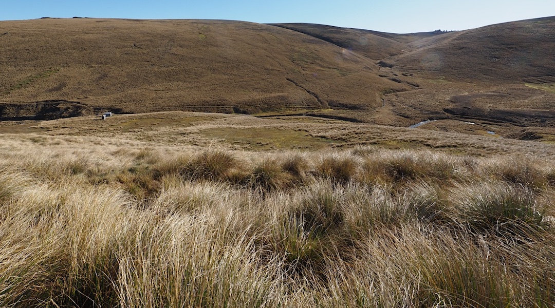
The hut isn’t so easy to find, particularly as it isn’t shown on the LINZ Topo50 map, just on hutbagger. It’s not visible from the large nearby clearing, but I somehow stumbled into it.
Then had the climb back up to the ridge, and I completed the circuit via the Bullock Track. No concerns with my tendon. Maybe it was okay to carry a pack now.
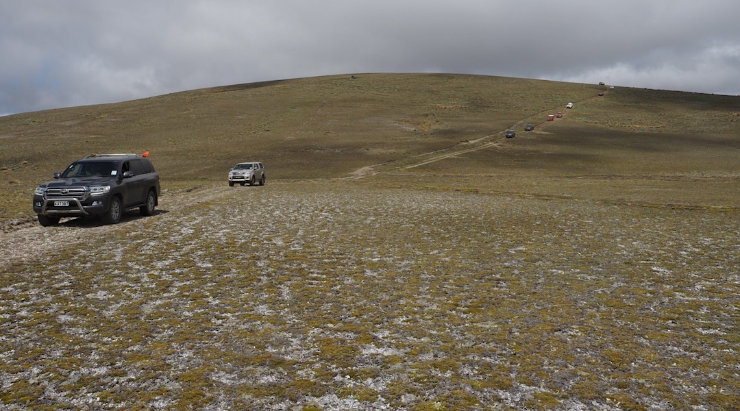
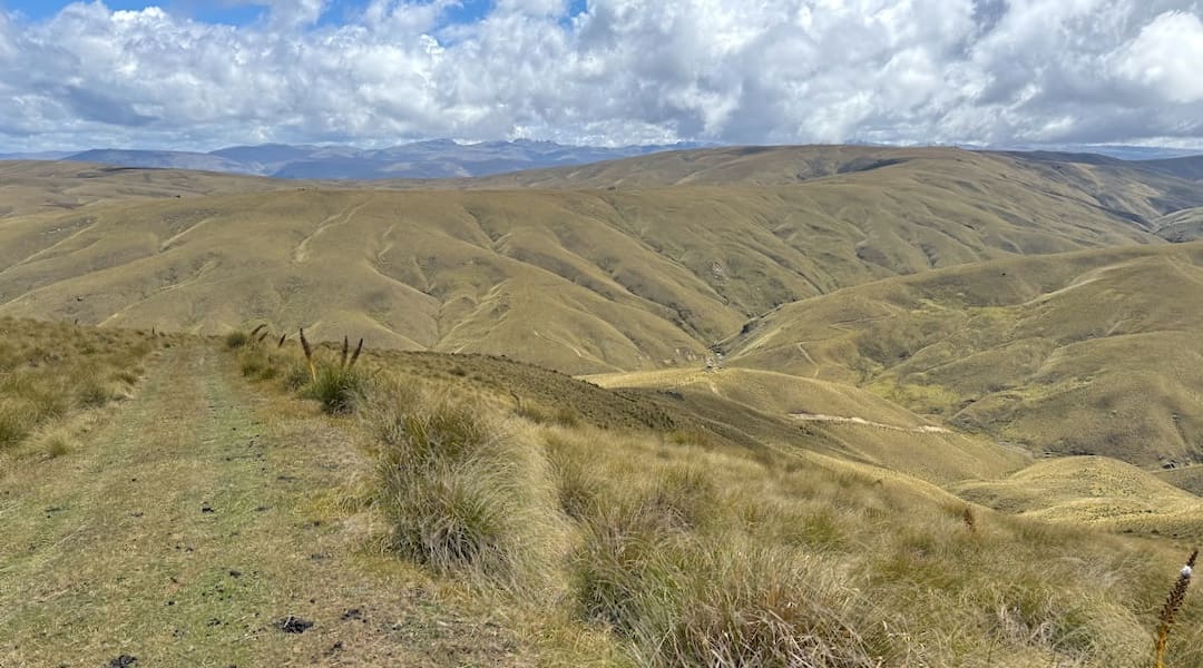
My intention for the summer was to head to the fine weather of Central Otago and do a bunch of day walks or overnighters, so I didn’t need to carry too much. More four-wheel-drive tracks to avoid re-injury on greasy tracks and slippery tree roots.
Fingers crossed my leg held up.
No need to return to Nelson until mid-February unless my budgeted funds ran out.
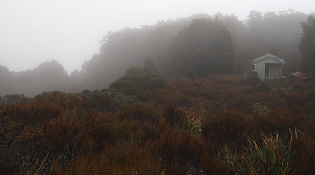
In retrospect, a choice of hut with Mount in the name was possibly not the best option for my first overnighter at the end of my year-long rehab from two Achilles tendon tears.
Almost at the bottom, I ran into a couple who had two weeks in New Zealand and had decided that a walk in the woods behind Woods Point was the exact place they wanted to be.
I staggered in to find the hut taken over by two 16-year-olds, off to climb to Bob’s Camp Bivvy. Every horizontal surface inside the hut was covered with something.
I crossed the Rakaia River on my South Island Te Araroa expedition a long time ago, and later explored the Wilberforce River, and it was about time I had a look at the lower reaches.
I concentrated on where my feet were going on the old sheep trail through the tussock, rather than looking up at the house-sized rocks that perched precariously 400 m up the Mount Hutt foothills.
I remember Gorilla Hut had some graffiti from famous New Zealand climbers, including Ed Hillary, and Frida du Flaur who had just made a first ascent of a nearby mountain in 1909. I foolishly added my name to the wall of mountaineering luminaries, what’s more, in a ballpoint pen, something I was relentlessly teased about by a friend who noticed it for years to come.
Climbing 1100 m in one straight hit can go on a bit, particularly while carrying an overnight pack that includes a tent and sleeping mat, so let’s say I’m feeling well-exercised.
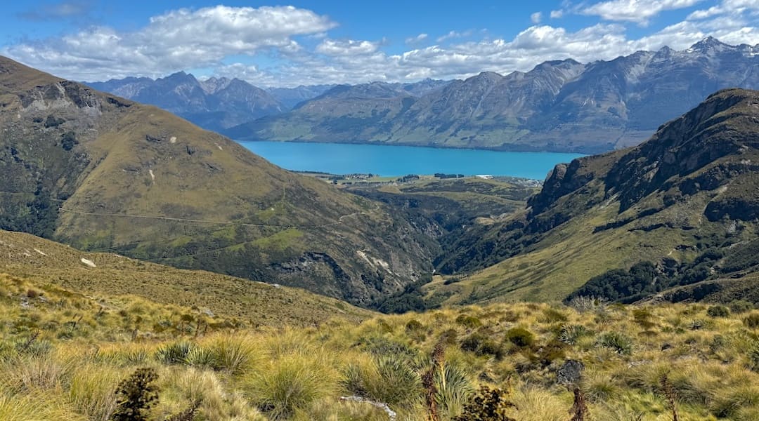
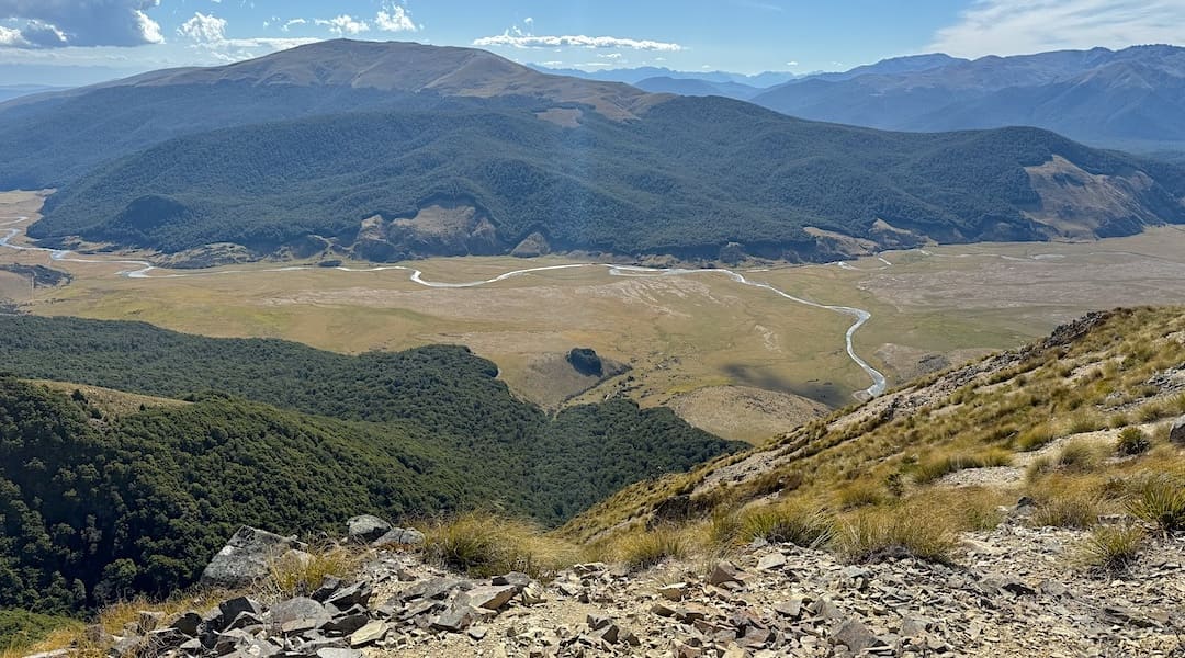
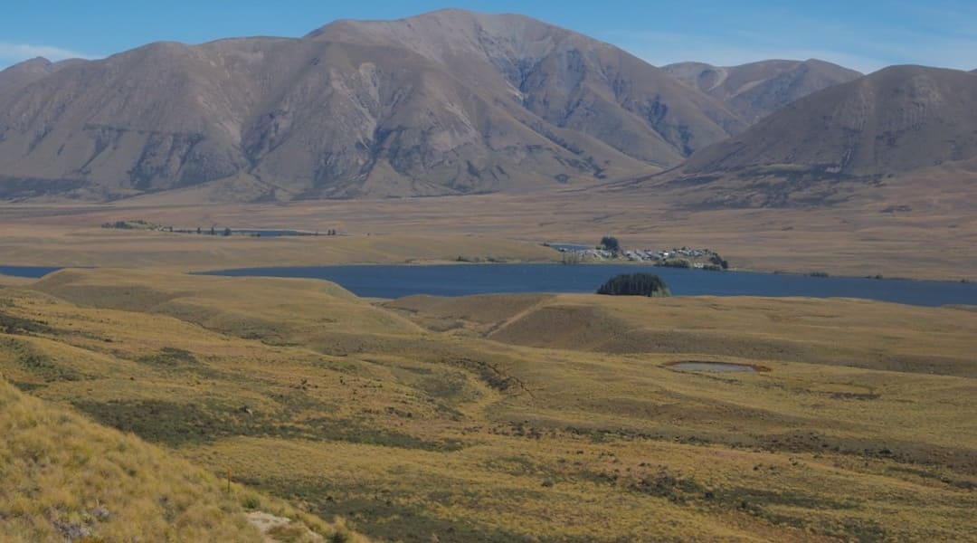
This was my mountain range, and I was enjoying my exhilarating day, looking down into the Clutha River Valley in one direction and over to where I had walked the day before, along another ridge.
Around 6 30 am, half a dozen 18-year-old women who hadn’t yet gone to bed came down to the lake and freshened up by stripping off and going for a swim, about 50 m from where I was conspicuously located.
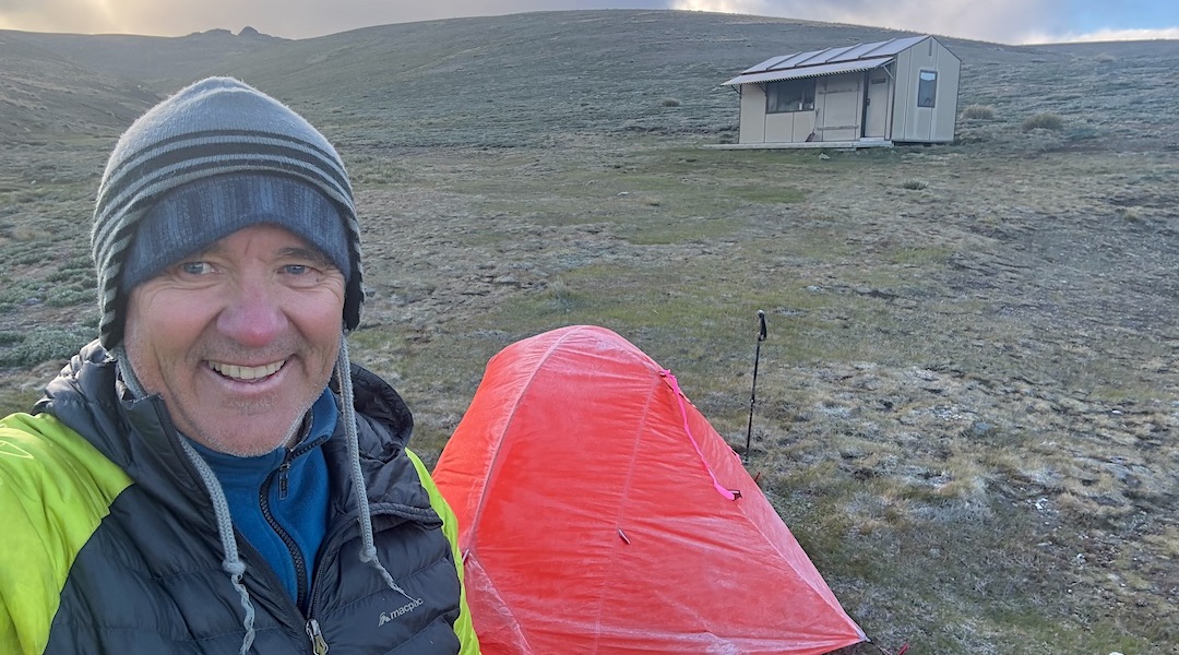
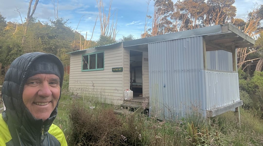
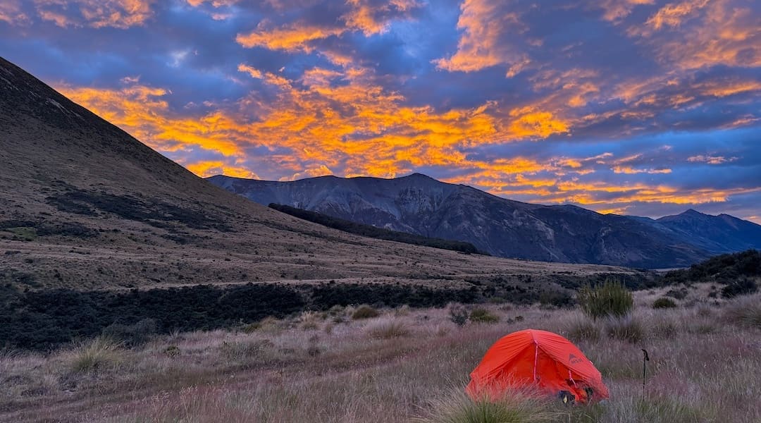
I could confirm the cold aspect had arrived, and I spent much of the day in my sleeping bag with my puffer jacket on with the hood up, as well as my beanie.
I was running out of jokes, such as, If you’re lost, I can’t help you. Is this the right way to Queenstown? I answered the question of whether there was anything I needed. Yes, a scone and a hug from my mum.
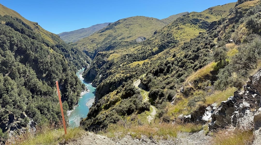
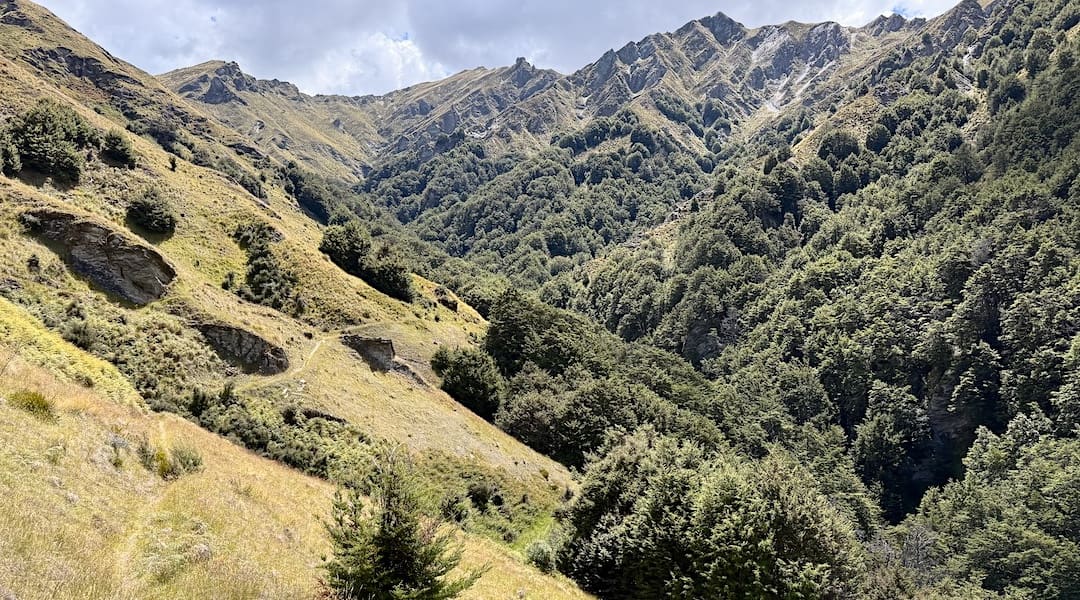
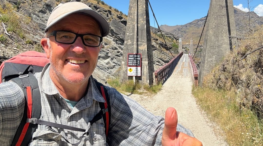
I soon realised my folly. There was no place to turn back, and I came to the conclusion that I had made a huge mistake. No chance of getting to the camping site at the old Skippers township, where I anticipated going.
I was thinking how lucky I was to have walked Te Araroa before people started ripping through it, just to impress someone with their accomplishment, rather than experiencing chance encounters with strangers, which were my main memories.
It turned out to be the third-longest day in terms of steps I’d cracked out in the last eight years since I acquired a smartphone that counts such things—42 km.
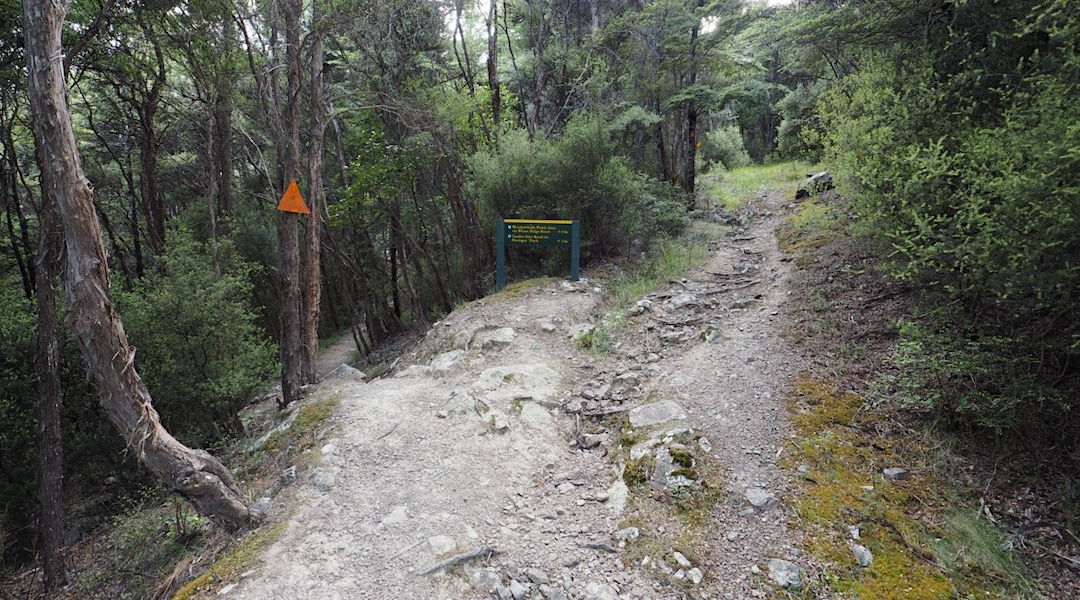
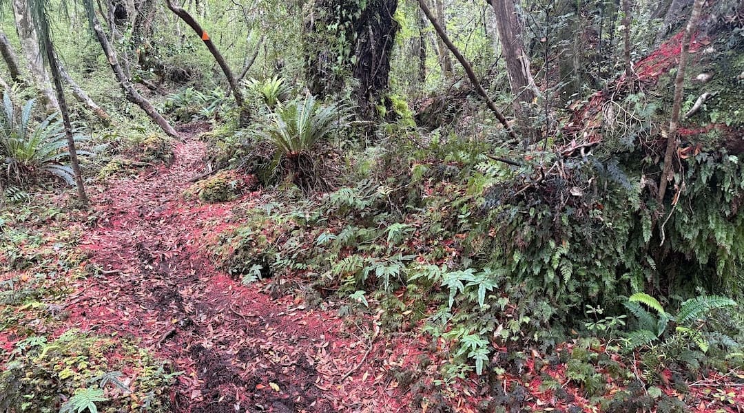
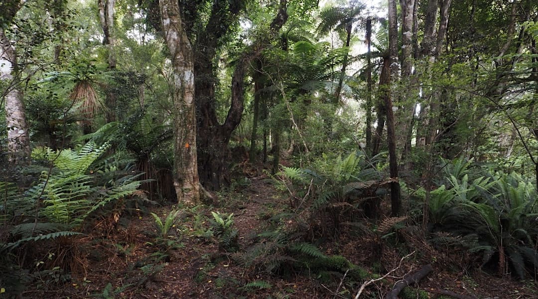
Not to say I was finishing my tramping summer just yet, but soon I’d be back to orange triangular DOC markers, SF 70 DOC huts, and familiar beech trees.