45 almost epic adventures | South Island & Rakiura
Abel Tasman/Kahurangi | December 2015/January 2016
New Zealand’s second largest national park.
Prior to this trip I’d had limited experience of Kahurangi. The Heaphy a few times, the Leslie Karamea twice. Oh, and scooting down the coast from the Anatori River to the Heaphy, if scooting describes the single most challenging three days I’ve had in the New Zealand hills.
I had a long hiatus getting over last summer’s 101 days of tramping, the Tin Range on Stewart Island then heading home on Te Araroa. I’d been sitting around writing, revising, starting a business, generally doing not much in the way of exercise.
Perhaps it might be advisable to start the summer with an easier trip, the Inland Route in Abel Tasman, progress into the Anatoki for a more demanding trip, then get into some considerably more strenuous adventures to really get to grips with what is New Zealand’s most diverse landscape and vegetation.
Maybe some trackless cross-country with the obscure Ministry of Works Historic Hut playing a part.
Then I was intending to return to Nelson to refresh my body before getting back to the southern section of Kahurangi.
You can’t have too much of a good thing, so they say.
I was going to find out, and as usual I’d be on my lonesome. Who else wants to do this sort of extended trip?
His top front teeth, four of them, had been symmetrically removed, abruptly I guess, and not by a dentist, which made speech somewhat imperfect, but that might have been the effect of the previous night.
I must’ve dumped 10 kg out of my pack, battery chargers, various maps, foodstuffs, it all filled a cardboard box secured at the backpackers, well, left in a locked cupboard.
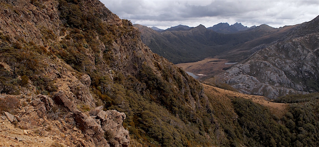
Then there was a short section, maybe 400 m, which would put many off, a large scree sidle under some bluffs, plenty of drop below, but mostly solid enough feeling with my new Meindl boots.
Today I continued with my ability to stretch out the days walking to fit the allocated time, in this case, my 4 hours 20 minutes in motion took, well, all day, with arrival at the hut around 6 pm.
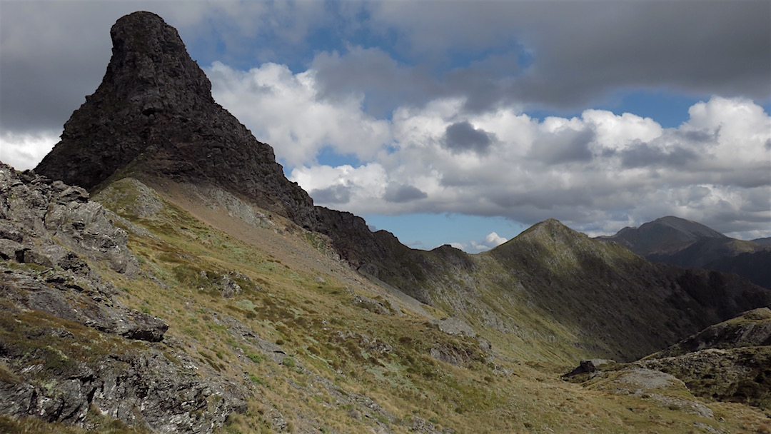
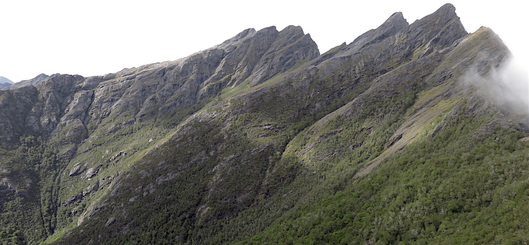
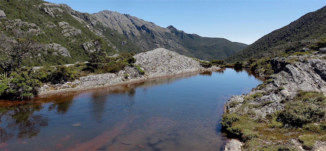
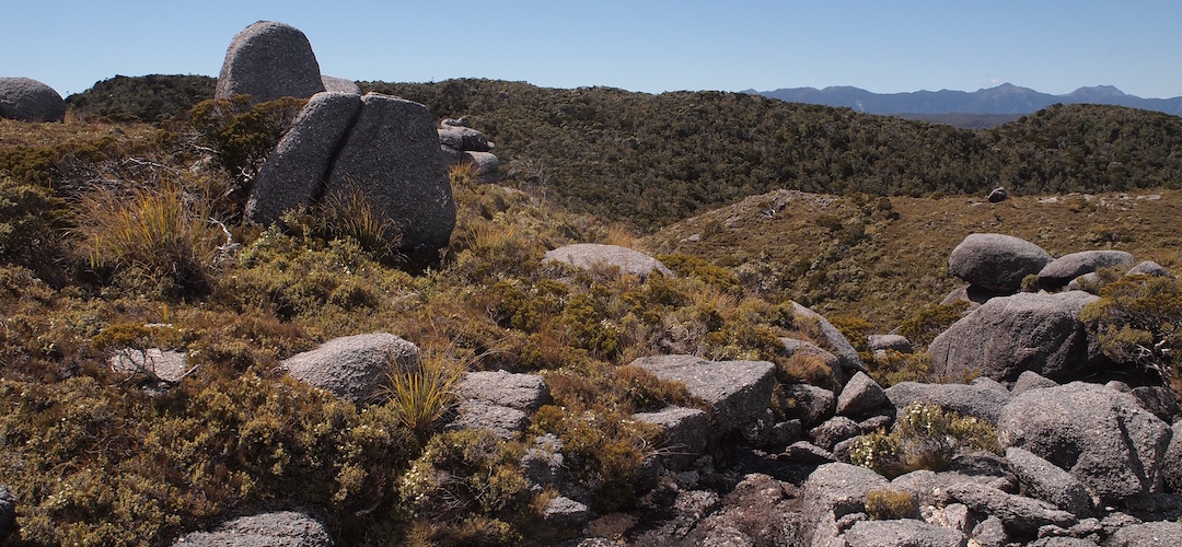
Then it was wandering on an unmarked track, a few more moss covered cairns, little foot traffic, through a jumble of massive slices of Dragon Teeth, house-sized dental decay, that had dropped off a few thousand years ago, big trees around.
A rest day, which meant I went back up to the saddle then branched off on the High Route around Anatoki Peak until I could get a good view of where the route went.
I could rant at great length about how you wait much of a lifetime for such great days when it all comes together: the challenge, the views, the weather.
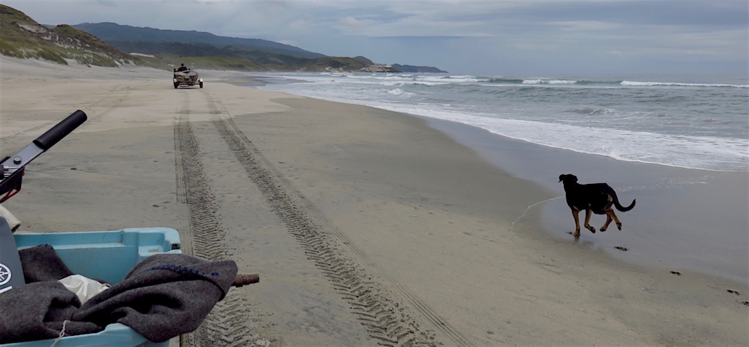
Just as I was unloading my pack from the back of his ute, a couple of quad bikes came by, dad and his son, and I sat on the back of dad’s bike blatting down the beach to the Anawhata River from where there was no immediate crossing possible.
I packed up early for once and started my marching. The rain was coming down and while it varied in its intensity during the day it continued for about the next 34 hours.
I had left my cup outside and in the morning it was full, that was the second time, there sure been a lot of rain. The West Coast was living up to its legendary status as a particularly damp corner of the world.
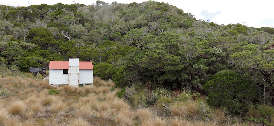
Not much activity on my part other than reading the extensive hut literature and hut book, kinda dating back to the hut’s construction in September 1970. There is also an historic assessment of the hut which concluded that it is close to original condition.
Overall, the distance between the Kahurangi Keepers Hut and the Ministry of Works Historic Hut is a big 7.6 km. I’d say anybody would be doing well to average 500 m in an hour.
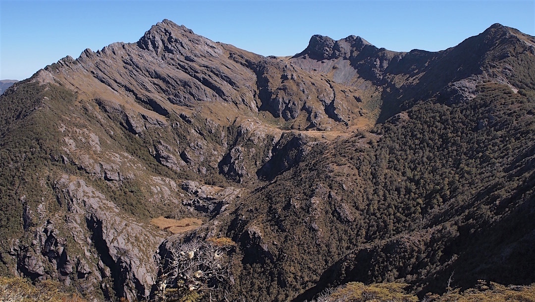
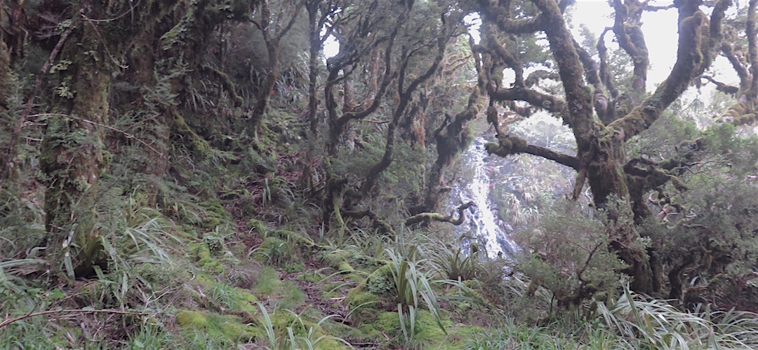
I was following the map, due to the numerous octopus–style valleys it’s quite confusing, no track marked on the map of course, and only a few cairns to follow.
I wasn’t entirely sure if I was getting a ride right to the start of the track, the car park, it’s 7 km up from the road to Westport but P veered off without asking, through some cows on the road wandering back after milking, gave a rabbit a few hundred metres exercise down the road and then I was out with the sandflies.
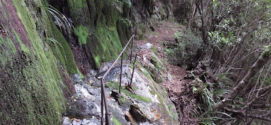
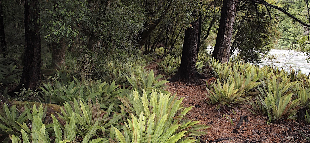
Once I crossed the Taipo River on a loose swing bridge there was a brief climb and it all became much more recognisable as an historic benched packhorse track. Some extensive chiselling of the granite although in general the track has rather fallen into disrepair.
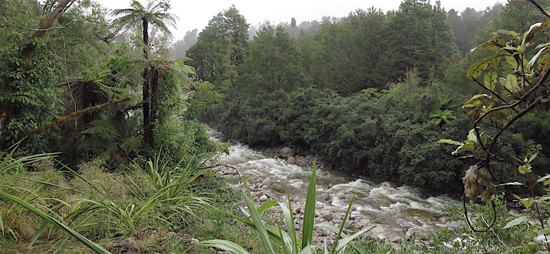
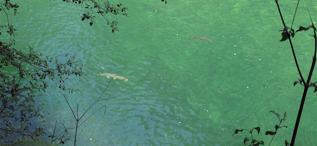
At one point I looked down through a gap in the foliage and there were three decent sized brown trout wafting about in the current, cruising in circles just below me. I sat for an hour just watching them float around.
Man, I think I’m fairly inclusive in my conversation, as a long term solo traveler you understand how to provoke some dialogue, but this time I had to admit defeat. I retired to my bunk and read my book, despite my lack of human contact that was just way too hard work.
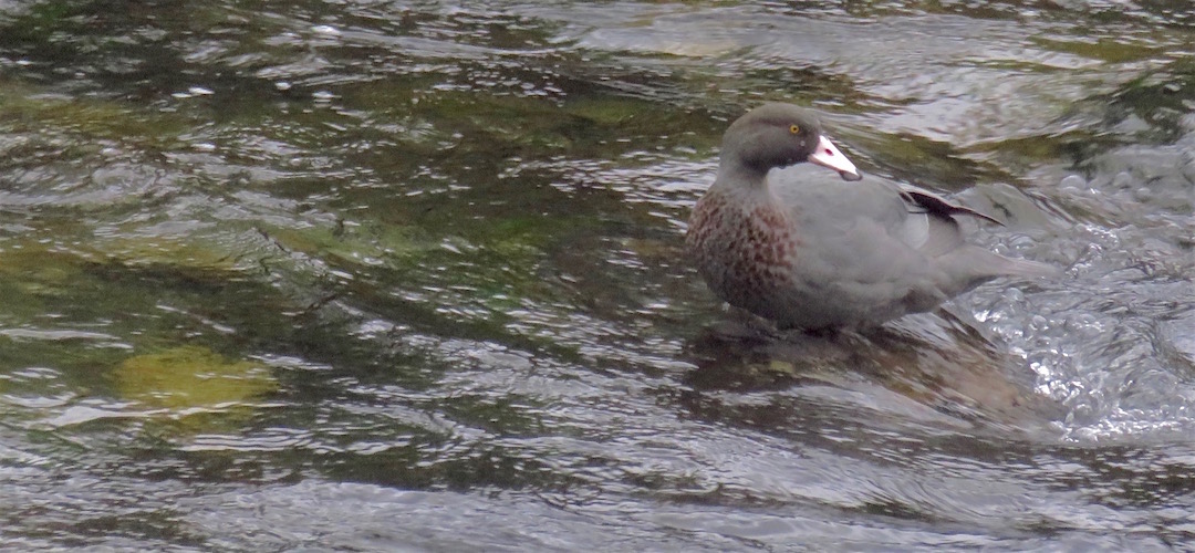
I tell them about the whio/blue duck in the Crow River I saw while crossing the swing bridge next to the hut, it was sitting on what looked like a very slippery rock in the middle of the river, preening, eventually it did a few dives in the swift flowing river water. That was worth the price of admission.
They have an excess of venison sausage pasta and hand the pot over, I’ve already eaten but man, there is some flavour there, and a finger of scotch in my plastic mug, then three fingers more. No third round though because they have demolished the 40 oz bottle.