Alpine Route | Mt Richmond Forest Park
In a fine spell of weather, this might be the best tramping in the north of the South. Sometimes exhilaration requires effort; the views here, more than one 360°, are worth the toil.
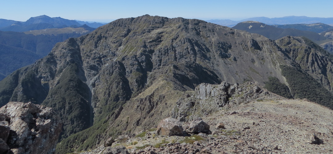
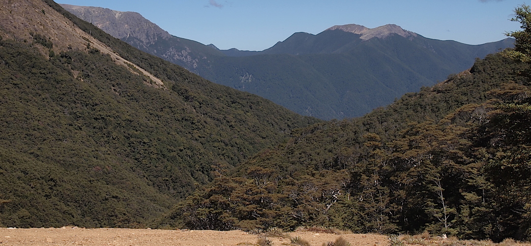
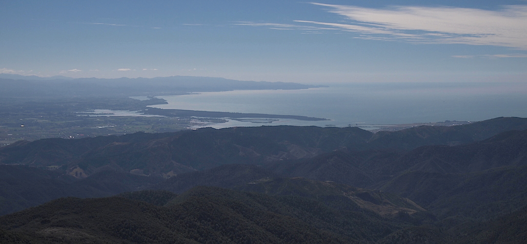
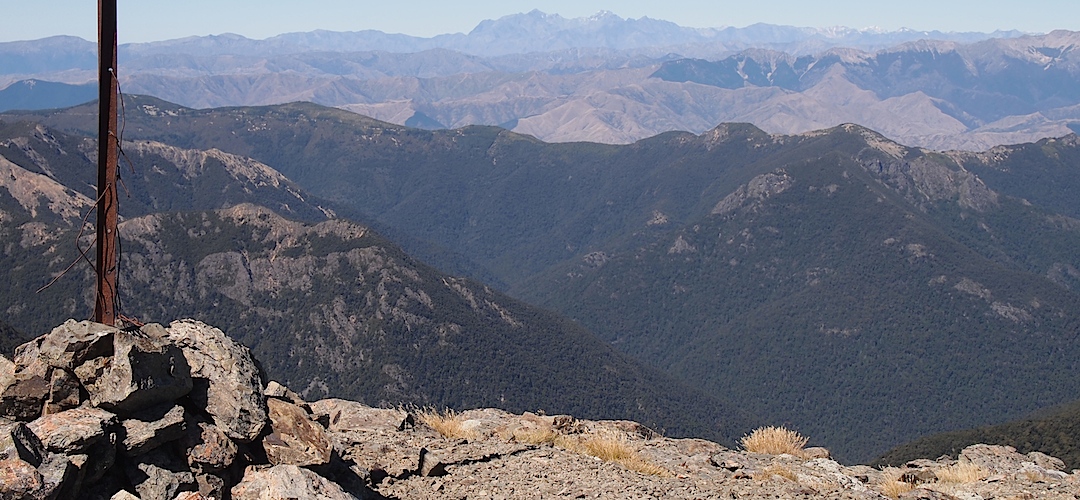
From the summit of Mt Rintoul, 1761 m, there’s one humongous panorama taking in Mt Richmond, Cook Strait and the tip of the North Island, Blenheim and the Wairau valley, the Inland Kaikouras with Tapuae-o-Uenuku prominent, 2885 m, the reddish Red Hills, much of Kahurangi from Mt Owen round to Mt Arthur and beyond, Abel Tasman, a bit of Farewell Spit, Motueka and the Waimea Valley, round to Nelson airport. On a clear day there’s Taranaki popping over the horizon. Man, what can’t you see from up there?
Bad weather or winter trips? Not at all recommended; a few days hover around the 1500 m mark, walking on ridges fully exposed to wind and the elements, and it can do a full-on howl up there. And it can get dangerously icy.
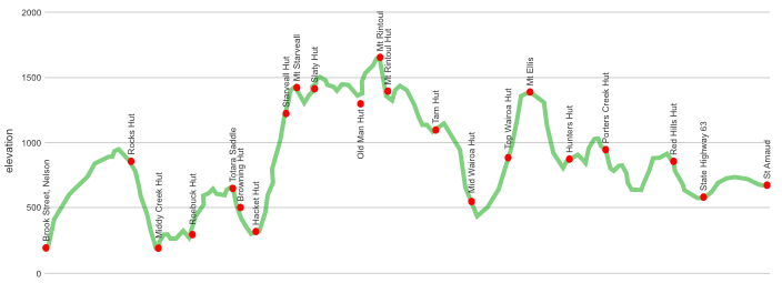
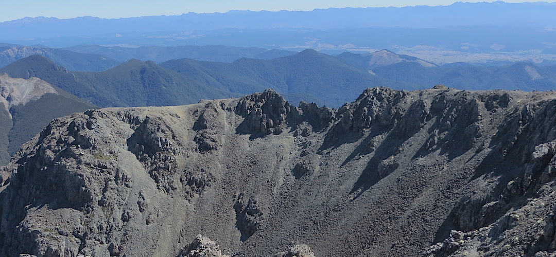
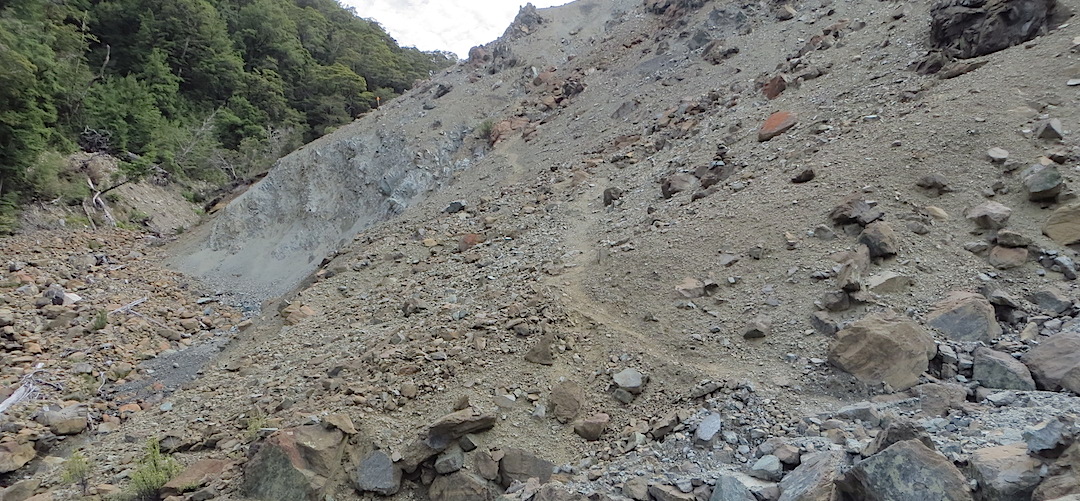
There are climbs, like the 1300 m from Hacket to Mt Starveall, and odd 700 or 500 m grunts or plunges, you won’t lack exercise lugging all that food. And various gnarly bits, the scrambled descent from Little Rintoul to the saddle below is vertigo-inducing for the inexperienced, down scree slope chutes with loose head-sized boulders, gravel, and everything in between. Actually, those with a delight in the scree sliding and boulder hopping would boost the enjoyment levels, there’s plenty of that elsewhere.
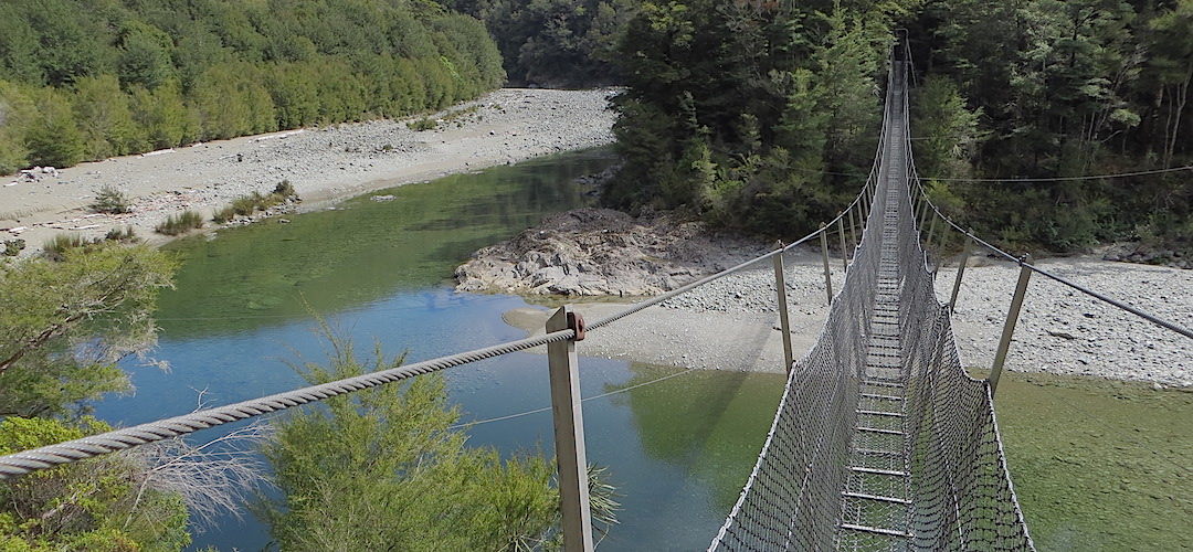
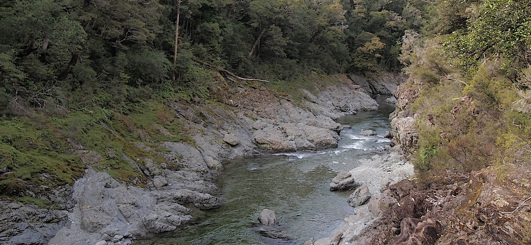
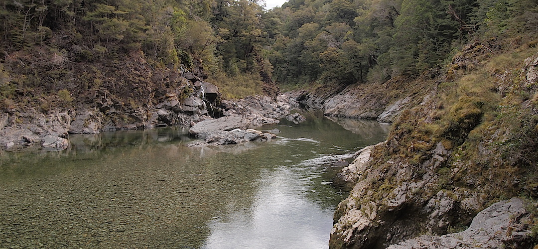
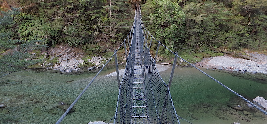
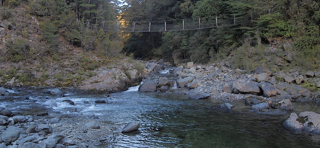
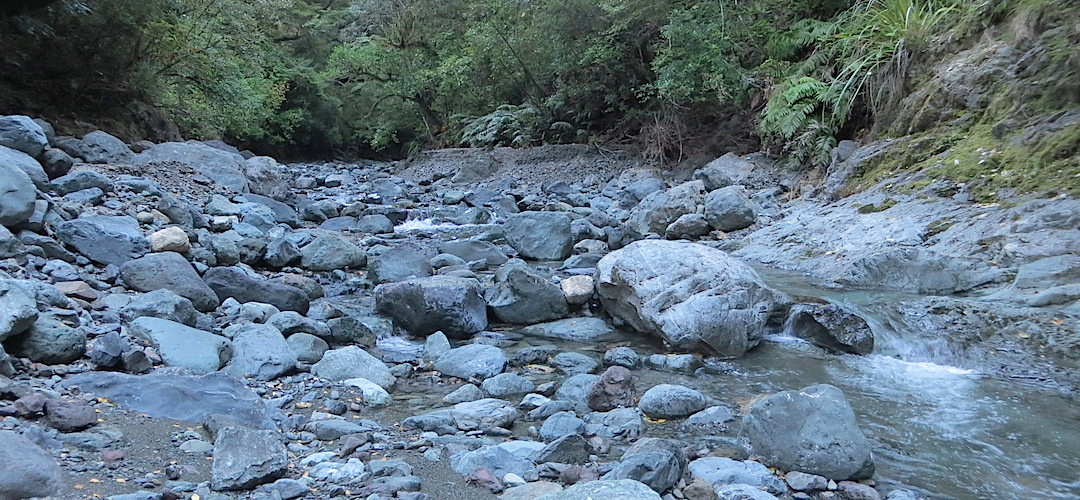
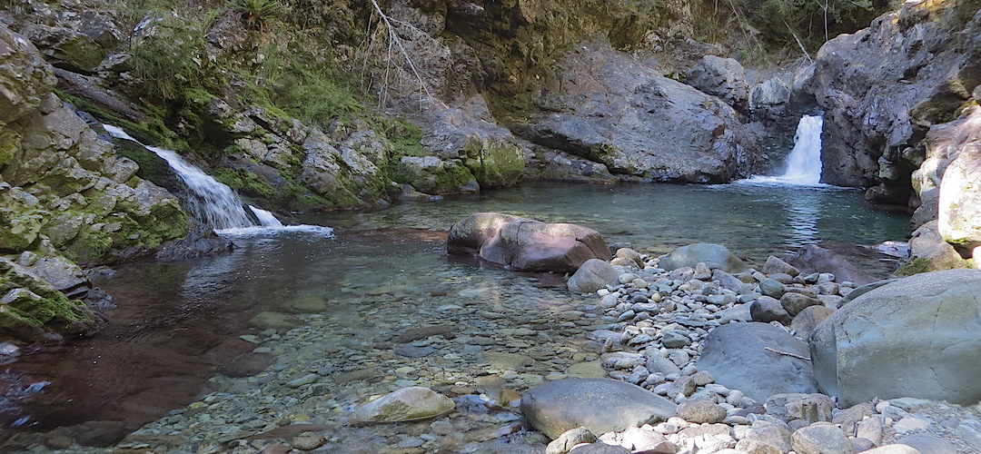
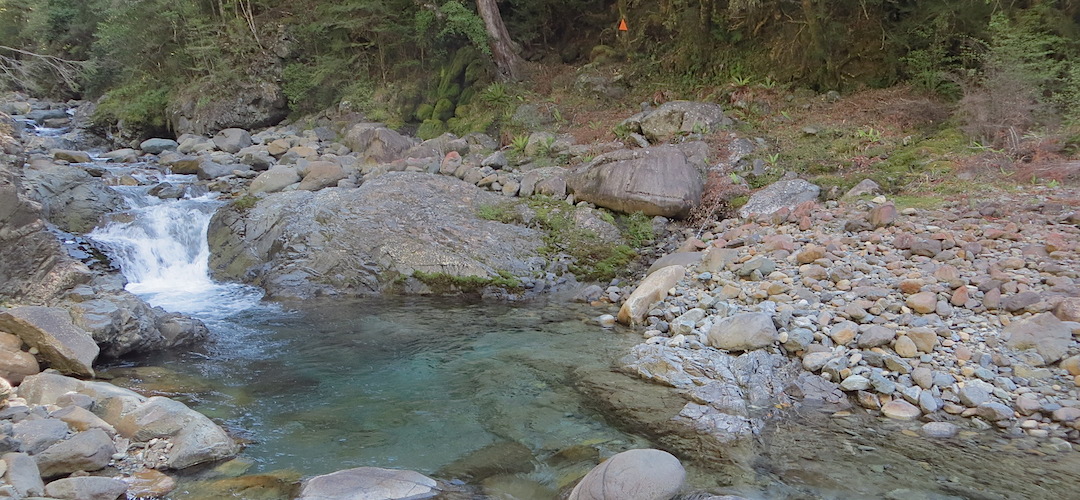
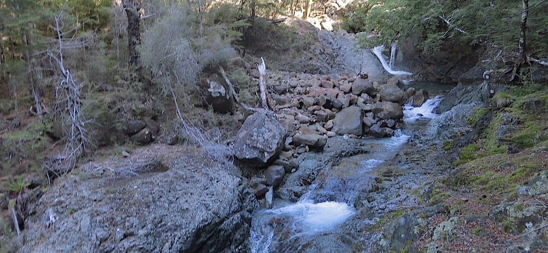
Better mention the extraordinary river scenery: the Pelorus is as pristine river you might come across, with swing bridges for major crossings, except for a couple of tributaries; Hacket Creek gets the feet wet; Wairoa River, gorgeous with those gorges, eight crossings required, sidling on steep slopes with big, ie, 20 m, drop-offs a major component; then the bigger and potentially gnarlier Motueka River; those valleys and water views are as good is you get round here.
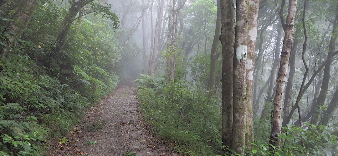
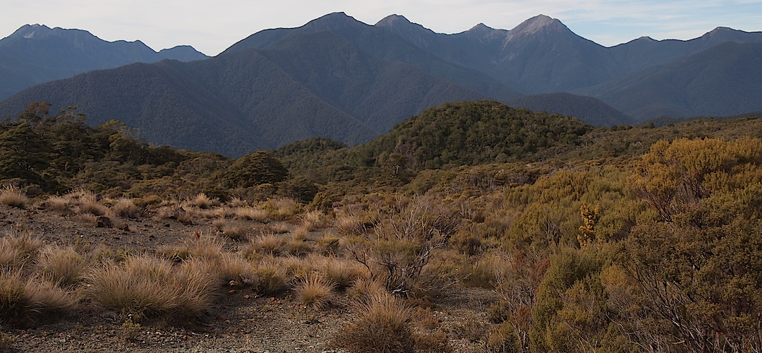
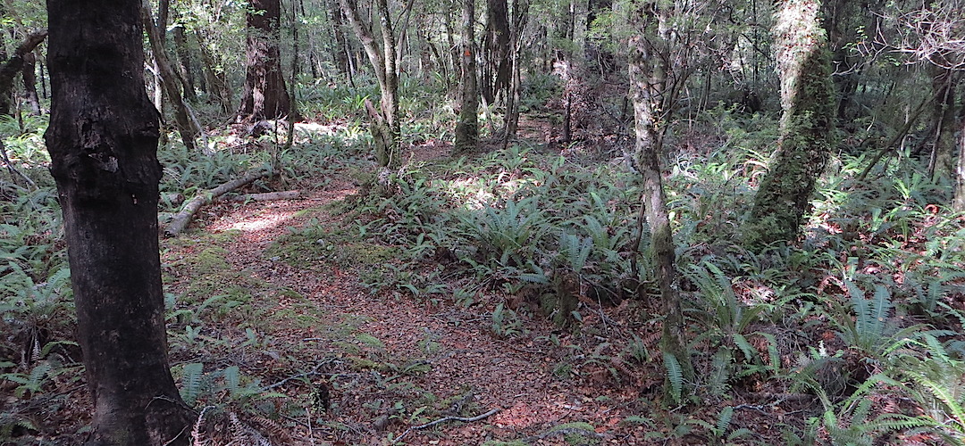
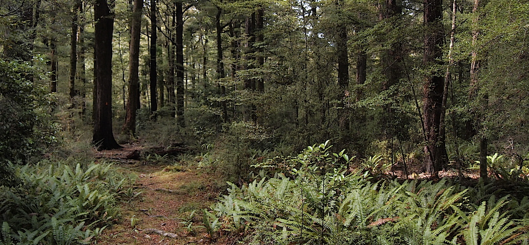
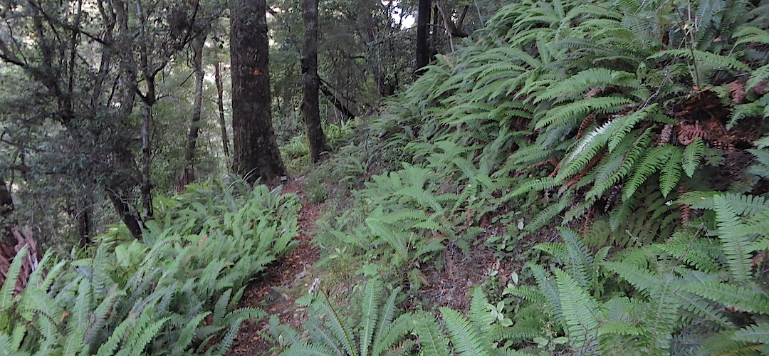
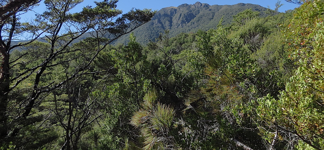
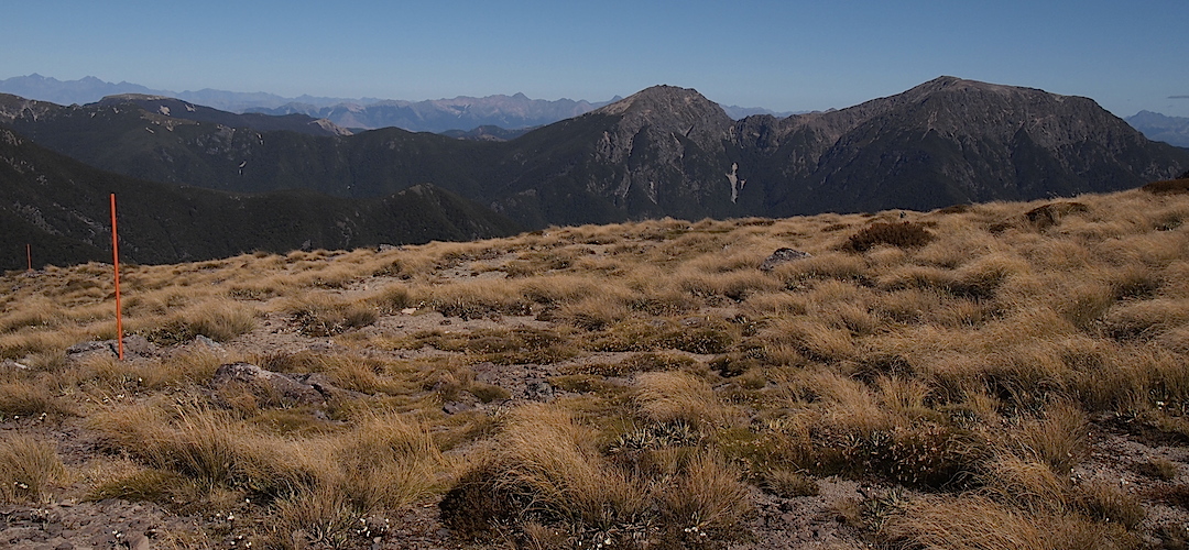
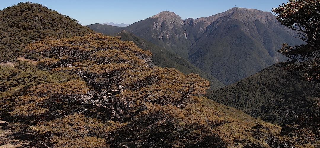
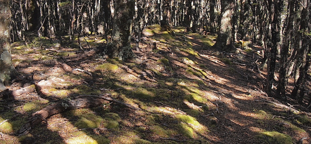
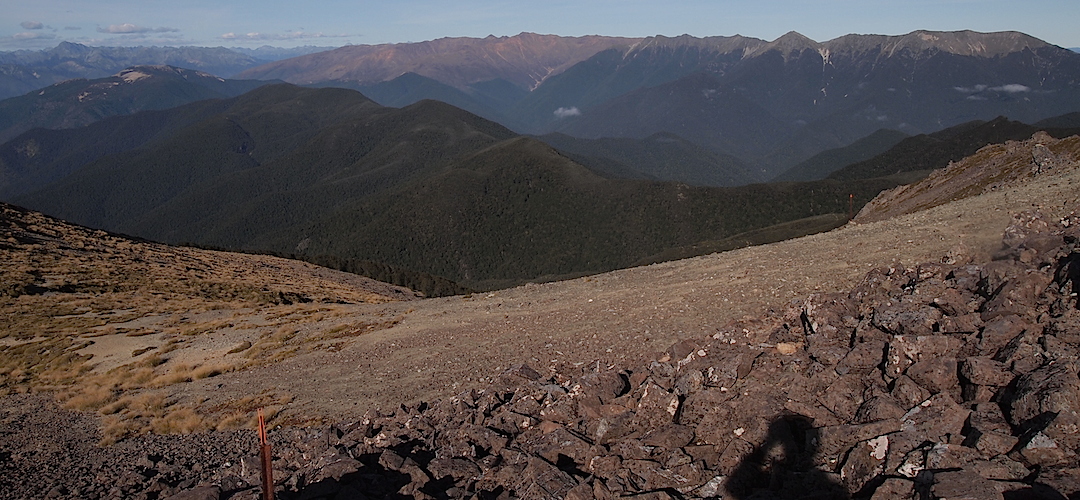
And the vegetation: plenty of mature red beech forest with, often, an understorey of crown fem; the miniature mountain beech, real Hobbitland up near the bushline; the open snowgrass and tussock above the tops; that crazy raoulia, vegetable sheep, in the most inhospitable terrain; and then the completely different shrubbery of the Red Hills, scrubby manuka and dracophyllum, you sure don’t lack botanical variety.
Yeah, for experienced and well-equipped trampers the Alpine Route is really quite the memorable Little Adventure.
where | Alpine Route, Mt Richmond Forest Park
Nelson to St Arnaud via the Pelorus River and along the ridges of the Richmond Range and around the Red Hills.
distance | Alpine Route, Mt Richmond Forest Park
120 km Brook Street, Nelson to St Arnaud, there’s almost 7000 m ascent involved
time | Alpine Route, Mt Richmond Forest Park
Nelson to the highway near Tophouse is 7 or 8 days for most trampers
when | Alpine Route, Mt Richmond Forest Park
November to April inclusive.
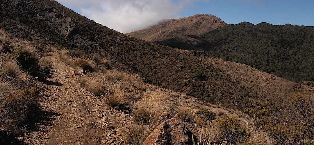
You travel for some of the trail, from leaving the forest at Mt Starveall Hut to Mt Rintoul Hut, at and around the 1500 m mark, Mt Rintoul is 1761 m, highly exposed and winter winds and storms aren’t the time to be up there. The climb down from Little Mt Rintoul, just before the easier climb up the main peak would be treacherous in snowy and icy conditions.
maps and GPS | Alpine Route, Mt Richmond Forest Park
These days, having integrated GPS on your cell phone means a mapping app can precisely locate you on the LINZ Topo250 and Topo50 maps.
There are quite a few choices of topo map apps available, but NZ Topo50 works well enough and costs $6.99 for each island. You download the 3 GB app for the whole of the South Island plus Stewart Island/Rakiura before leaving home. This app then works for both these islands, away from cell phone towers. (The North Island is a separate $6.99 app.)
Unlike some apps, you don’t have to download numerous smaller “tiles” where, if you change your plans, you can find yourself off the map.
NZ Topo50 uses the full digital LINZ base map with details of the topography, tracks, contours, huts, roads, etc. You can also record your progress. Users can import .gpx or .kml track files ahead of time to follow pre-planned routes.
Other apps do much more, recording your distance, speed, elevation gain, or loss, etc, but this comes with a significant disadvantage: it is more battery-intensive, and your phone might not last a full day.
Unfortunately, cell phones have three issues.
1. You need to carry a chunky power bank to recharge every day. If you record your route as you go, or forget to put it in flight/aeroplane mode, batteries drain quickly. However, because NZ Topo50 loads the entire map natively, users can turn off the active GPS function entirely and only switch GPS on when needed for brief “spot checks” of their location to save power drain.
2. Phones can be lost, damaged, float away down a river, drain due to the cold, etc.
3. Wet screens or wet fingers often make smartphone touch interfaces completely unusable in rain.
A paper map is useful. On less frequented tracks, prone to windfalls or being overgrown, having a paper map backup is prudent.
Land Information New Zealand, LINZ, Topo50 maps, both digital and paper: the maps you need Nelson, BQ26; Mount Patriarch, BR26; and Tophouse, BR25.
Download free digital versions from LINZ Mapchooser, or buy the real thing, ie, on old fashioned paper, at DOC offices, outdoor shops and bookshops where maps sold. There’s a nationwide list at LINZ Map Retailers.
Need a custom map for your GPS device, download a more compact .klm format file from topomap.co.nz for free, although if you download a few maps consider a small donation, there’s considerable work gone into getting that info onto the internet and we should support these useful resources.
route description | Alpine Route, Mt Richmond Forest Park
This describes the complete route from Nelson through to St Arnaud, although you can cut out all the scenic Pelorus River section and join the route at Hacket Hut by getting a ride up to the Hacket picnic area up the Roding River. Those without transport will find this option awkward; it’s 27 km from Nelson up the Aniseed Valley.
The track starts on the easy Dun Mountain Walkway then drops into the attractive Pelorus River Valley, climbs over Totara Saddle, and over to Hacket Hut. Then the unrelenting 1300 m climb starts up to Mt Starveall Hut before you oscillate around the 1500 m mark on open ridge tops, a few scrambly bits, the most demanding being the 220 m drop down of Little Mt Rintoul and another 500 m scree slope that is easier to negotiate to Mt Rintoul Hut. Great views from there. Then you are back in the forest, mostly, and follow more ridges before dropping into the Wairoa River at Mid-Wairoa Hut. There are 8 river crossings of the Wairoa River before you finally climb out just before Top Wairoa Hut. Speaking of climbing, you then climb over another saddle and drop down to Hunters Hut; many find this the best of the trip. There’s just a bit of up and down on the way to Red Hills Hut from where you drop into the Wairau Valley. The last bit is a road slog for about 10 km to St Arnaud; there’s even a hill to climb. PS, you are allowed to hitch this bit.
huts | Alpine Route, Mt Richmond Forest Park
There are plenty of huts in Mt Richmond Forest Park and these are the ones you are likely to encounter along the way, depending on where you start: the Pelorus valley roadend, Nelson, up Aniseed valley, or from St Arnaud.
Tramping times | Alpine Route, Mt Richmond Forest Park
Here’s the DoC-stated tramping times between huts, as shown on their website, usually actual walking times, ie, not taking into account any long breaks. DoC bases its estimation on times for an “average” tramper which means that it’s possible to slash times for more popular sections. With more remote sections, the stated time is close to the actual time required.
Brook Street, Nelson to Rocks Hut
Time: 6 hours
Rocks Hut to Browning Hut
Time: 4.5 hours
Distance: 9 km
Browning Hut to Hacket Junction
Time: 1 hour (plus another 5.7 km, or 2 hours out to the Hacket Picnic Area for those finishing this section there).
Distance: 3.4 km
Hacket Junction to Hacket Hut
Time: 15 minutes (and a further 5.7 km if starting from the Hacket Picnic Area).
Distance: 1.3 km
Hacket road end to Starveall Hut
Time: 6 hours
Starveall Hut to Slaty Hut
Time: 2 hours 30 minutes
Slaty Hut to Old Man Hut
Time: 5 hours
Distance: 10 km
Old Man Hut to Rintoul Hut
Time: 5 hours
Distance: 4.5 km
Rintoul Hut to Tarn Hut
Time: 4.5 hours
Distance: 8 km
Tarn Hut to Mid Wairoa Hut
Time: 4 hours
Distance: 6.5 km
Mid Wairoa Hut to Top Wairoa Hut
Time: 4.5 hours
Distance: 7 km
Top Wairoa Hut to Hunters Hut
Time: 5 hours
Distance: 10.5 km
Hunters Hut to Porters Creek Hut
Time: 4 hours
Distance: 9 km,
Porters Hut to Red Hills Hut
Time: 5 hours
Distance: 10.5 km
Red Hills Hut to SH 63
Time: 1.5 hours
Distance: 5.5 km
SH63 to St Arnaud (along road)
Time: 2.5 – 3 hours
Distance: 10.6 km
getting there | Alpine Route, Mt Richmond Forest Park
If you can get a ride to St Arnaud and start from that end, it simplifies getting back to Nelson, because you will walk there.
You can walk from downtown Nelson, or catch a taxi up Brook Street if you go south. Best to start near the end of the road, a few hundred metres from the campsite; the trail is marked on the left-hand side of the road.
Nelson Lakes Shuttles do the Nelson to St Arnaud run for $60 per person. The regularly scheduled service for the summer season (December to April inclusive) is no longer available, and you will need to book the whole bus for a minimum of $300.
Trek Express has occasional Nelson to St Arnaud at $60 per person.
Getting around by hitching is also possible but, of course, entirely unreliable. Probably easier to hitch back to Nelson or Blenheim from St Arnaud.
supplies | Alpine Route, Mt Richmond Forest Park
Nelson, Blenheim, and Richmond have the usual major supermarkets, Countdown, New World, Pak’nsave for getting the main supplies. Shellite or Fuelite and gas canisters for your stove can be obtained at outdoor and hardware stores in Nelson or Blenheim, if you haven’t been allowed to fly with it.
The small store at St Arnaud usually has a reasonable, if expensive, supply of food and basic camping needs, matches, candles, gas canisters, Fuelite, etc, and operates normal business hours, seven days a week.
warnings | Alpine Route, Mt Richmond Forest Park
Te Araroa has become very popular, and there may be more than 3000 people passing through this route from Christmas to March. Don't expect a bunk if you travel at this time, as there may be 30 people camping at a 6-bunk hut. More water tanks have been provided, but this may be insufficient for peak demand and water will need to be flown in. South from Tarn Hut, the huts are close to streams or the tarn. The main potential water availability issues will be at Starveall, Slaty, Old Man, Rintoul, and Red Hills Huts.
Weather good: no problem, at least for those who don’t mind the occasional gnarly challenge.
On the other hand, the conditions can turn horrendous real quick; then it’s a hugely different story. A day can start well enough and then speedily deteriorate to immensely heavy rain, or even snow, at any time of year. Then you have a major issue, particularly on those long, super exposed ridges where the wind can hammer in, 100 kph+ common enough and that ain’t good, even for the well prepared. Having adequate wet weather gear, ie, a proper storm coat and overtrou is essential equipment.
With rain, the water levels can rise surprisingly quickly, but luckily it can dissipate in a hurry as well. There are a couple of unbridged crossings of what are usually small creeks in the Pelorus, Browning Creek can rage, there’s a number of crossings of Hacket Stream prior to the big climb. Later there were eight crossings of the Wairoa River but the track has been recently recut to avoid the crossing that used to be immediately above a 4 m waterfall. Actually, there are a few stretches of track that care needs to be taken in the wet, steep 20 m dropoffs. This is a section where, if the river is raging, it is best to bunker down for a day until the river goes down. The river is steep so it doesn’t take long after the rain stops.
Czech tramper Petr Čech, 46, drowned in the Wairoa River in Mount Richmond Forest Park on May 4, 2023, while attempting the Te Araroa Trail. The Wairoa River has 1000s of hikers cross each year safely. He drowned despite carrying a week of food and knowing that the weather forecast was atrocious. He could have stayed in Top Wairoa Hut for a few days to let the rain sweep through, but he thought he knew better and paid the price. Those river crossings may look benign, but that can change quickly. New Zealand’s rivers are steep, and water levels can go up extremely quickly. They also go down quickly. He would be alive if he had accepted other people’s advice and waited a day or two. This is a real issue.
The 220 m drop off Little Mt Rintoul, ie, the officially unnamed hill to the north of the actual Mt Rintoul, is the most heart rate increasing part of the track. It is steep, and there is nothing to hang onto; if travelling in a group, make sure that people don’t roll any head sized boulders down on those below. Remember though, many people have walked through here, and most survive.
Crossing the Motueka River can be dangerous after heavy rain. The catchment is relatively small, however, so this river goes down quickly. Hint: wait it out. One guy got trapped on a small island in the river recently, and was fortunately able to summon a helicopter to rescue him.
Overall this is a big step up in the level of difficulty and exertion required from the Great Walks, and even from a track like the Travers-Sabine Circuit. There are bigger, harder climbs and descents, and many of the rivers have no bridge. You can get yourself in a power of difficulty if you misjudge the conditions. But sometimes we need more of a physical challenge; this fits the bill for people wanting to give themselves a decent test.
Carrying an EPIRB, ie, an emergency locator beacon, is a sensible idea here; there may not be so many people out here on any particular day.
a big image slideshow | Alpine Route, Mt Richmond Forest Park
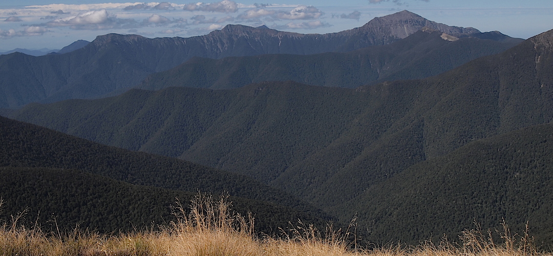
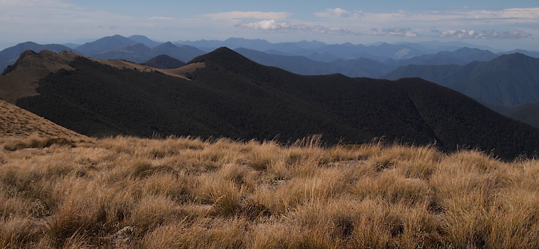
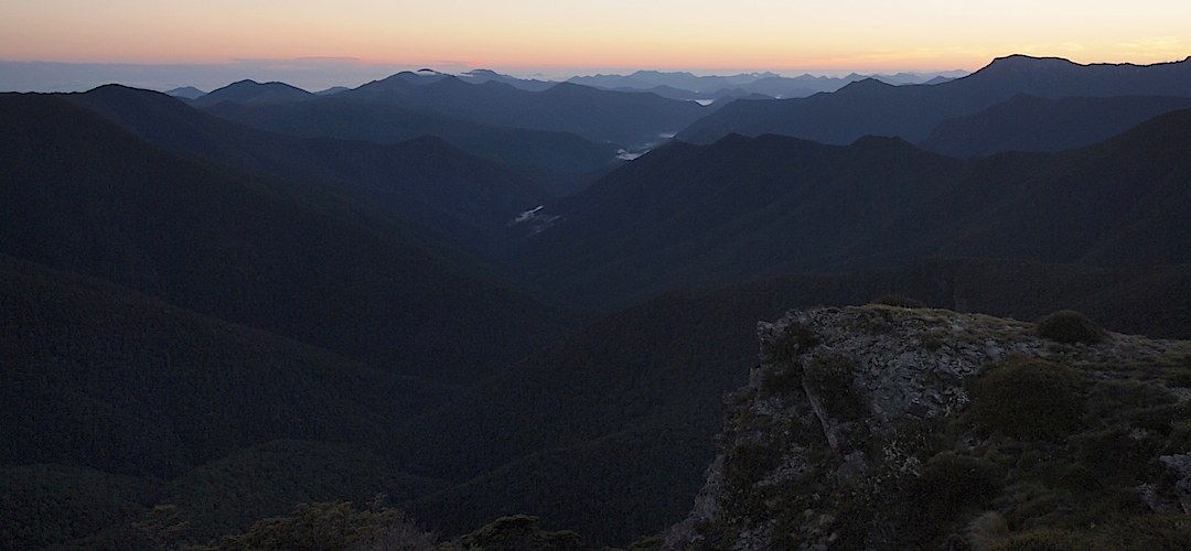
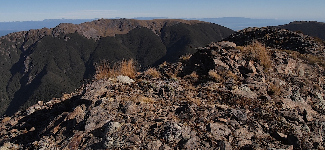
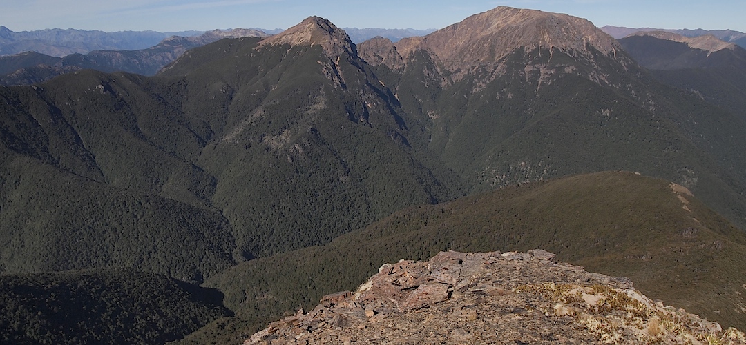
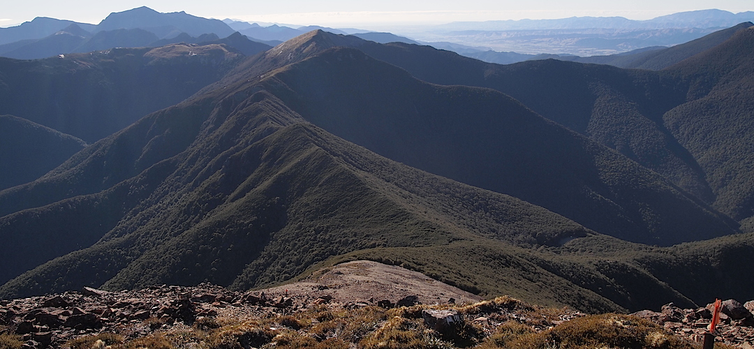
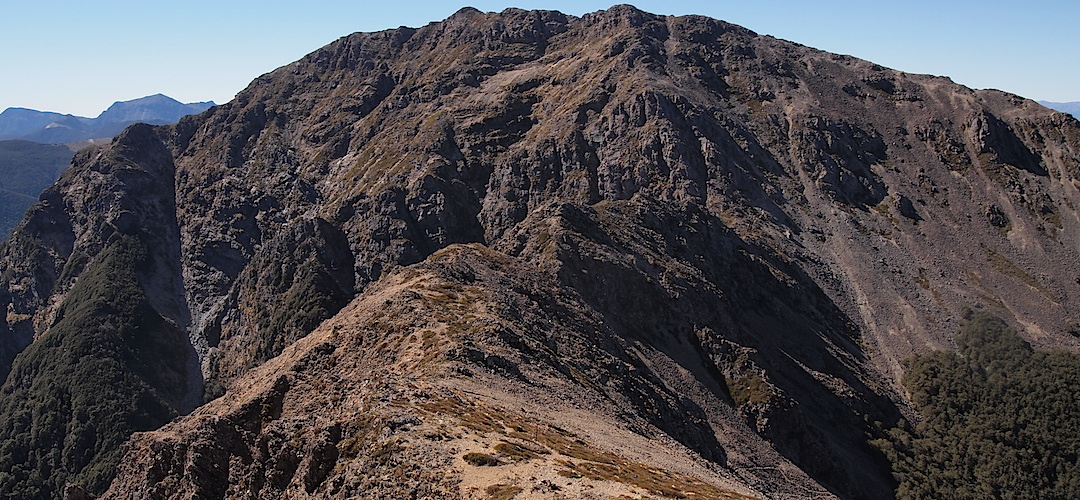
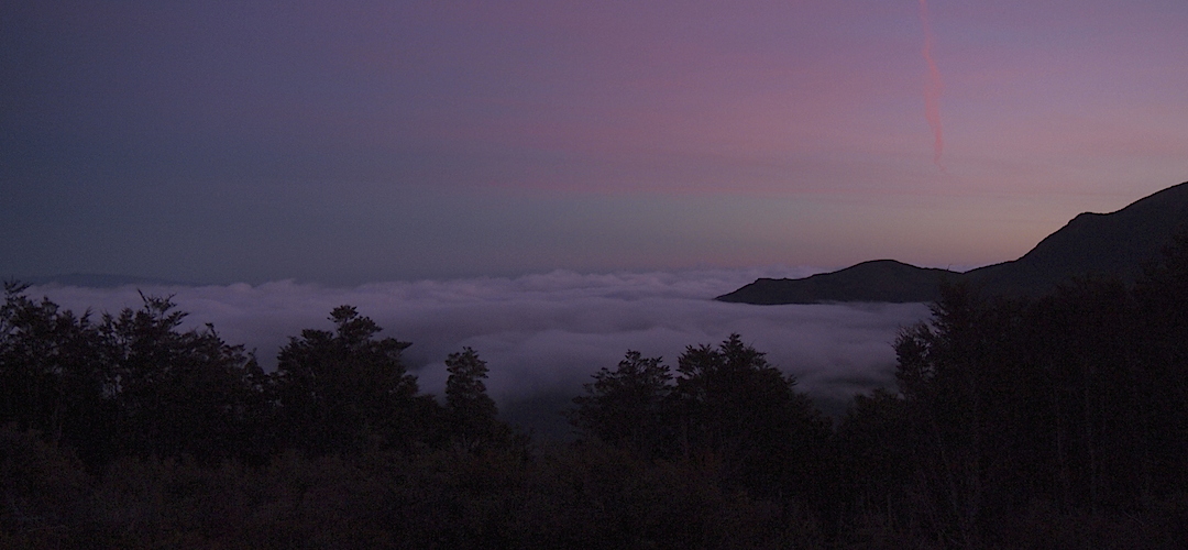
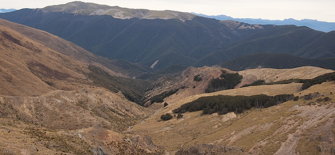
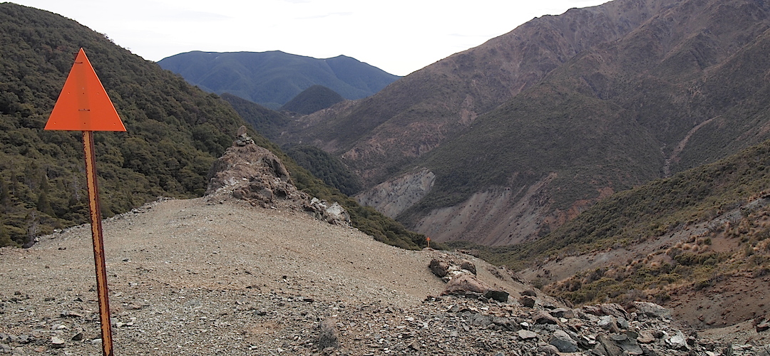
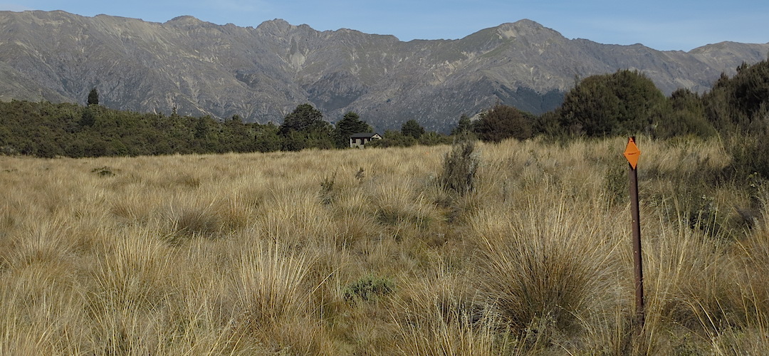
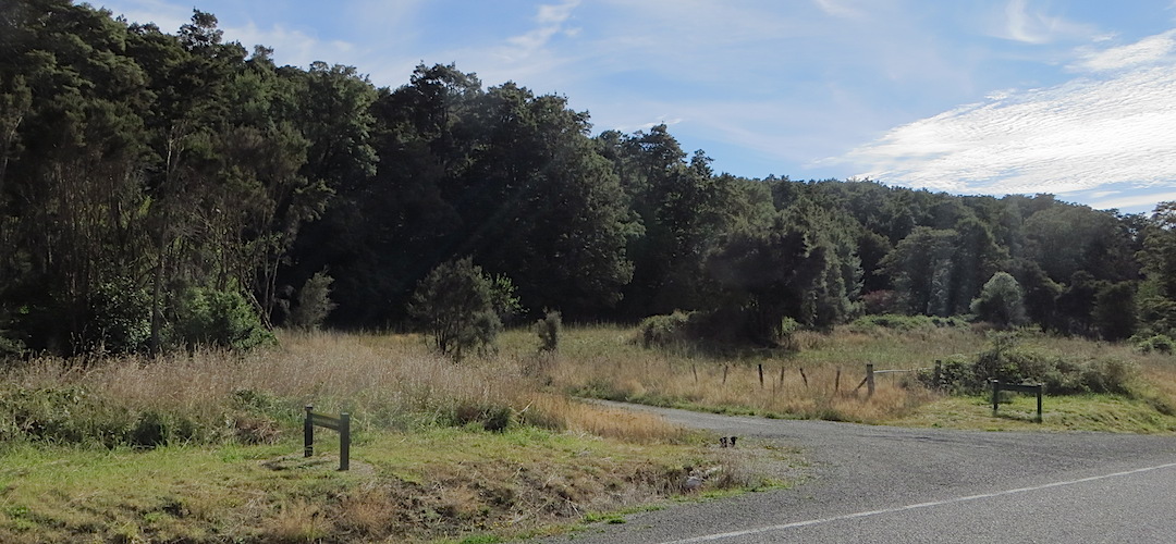
Here’s a 38 image slideshow from the Alpine Route giving an indication of the general track conditions and sights along the way, if you need any further convincing.
Click on the thumbnail image below to get the slideshow started, then you can click on the left or right sides of the bigger images to go forward or back.
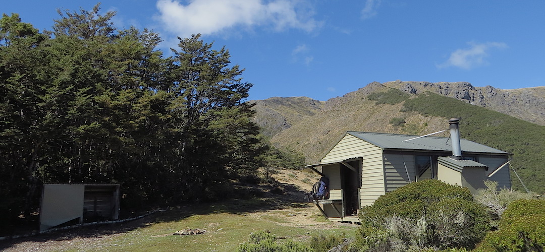

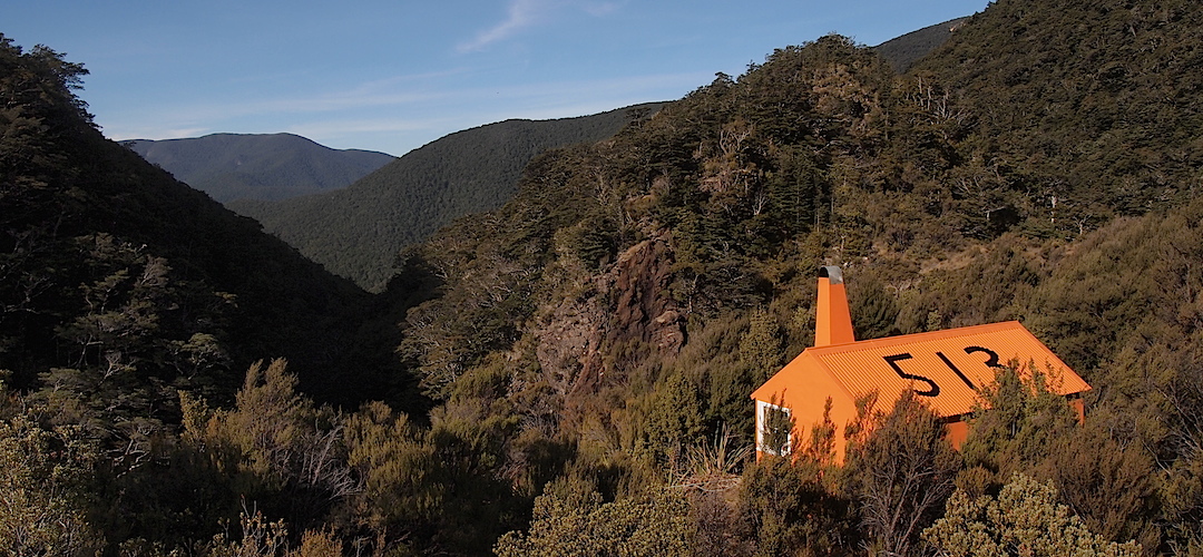

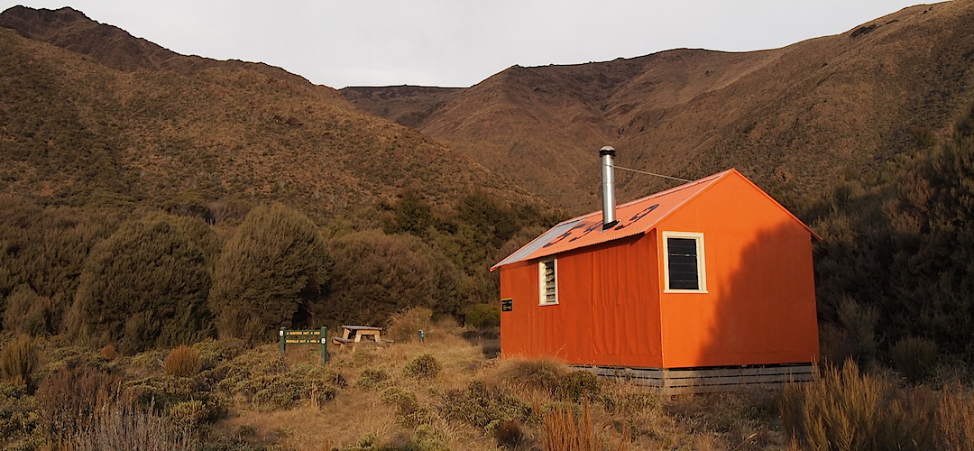
Images of the Alpine Route huts can be found in the Mt Richmond Forest Park huts section.