Not a cloud in the sky for most of the day, although there was some sort of humidity haze. A great day to spend, mostly, on the tops.
The lack of decent markers is what makes this track so gnarly, oh, I guess the weather can be bad as well, like two days ago, and, of course, the old bush bashing scenario. Quite the Trifecta.
I zipped up the tramline this morning, leaving at 7 30 am, it takes an age to chomp that porridge, a slow and steady climb but you get up to 400 m quite quickly. The track is first rate, well cleared, just the tram line bridges missing but I suspect they were never constructed. So 6.2 km of glorious walking before the manuka closed in.
I had an early lunch at the top of a Hill 637, the last close view of Gog and Port Pegasus, but what a good one, still one of the more memorable in my tramping career.
It helped in the trail finding department to have been over this territory a few days ago but it’s still hard work, the ground is often soft, spongy energy sapping, not unlike walking on snow or sand.
I had better success second time around with the two main bush bashes, the climb up to the main Tin Range ridge and then the area around Granite Knob, each time following what looks like a track but not with any footprints to be seen. It’s a free for all, just make your own route.
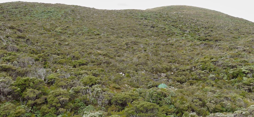
There’s a couple of wrestles with the shrubs tomorrow as well, just getting from this stream where I’m camping for the second time up to the ridge again, not such a big deal, then crashing down through the scrub to the wreck of a bivvy and then down to the stream where DOC’s dotterel workers’ route joins. That last section is the worst and longest, completely overgrown because DOC doesn’t use it, just us crazies once in a while.
At least I knew just to crash on while getting lacerated with the twigs, remembering it is the actual route, truly.
Highlight of the day wasn’t saying farewell to Gog, I could even see Magog today, rather inconsequential, or to Port Pegasus, all those zany granite domes, it was saying hello to a lonely dotterel chick that spotted me as I sat looking out over Kakapoland and ran 80 m up the hill to sit almost in my shadow, cocking its head from side to side, those huge eyes staring vigorously at me. The bird’s home is ridiculously barren, an exposed granite flat top hill, no wonder they are on the verge of extinction.
Back to Rakeahua tomorrow, or, if I make tracks, maybe Doughboy Bay.
A guide to the night’s accommodation: Twin Pools Crossing campsite