Judging by the hut books, the section over to Freshwater from Freds is the least walked on the island. Quite a few who do the Southern Circuit get dropped off water taxi style directly at Freds, or even, for some, at Rakeahua Hut. Plenty also get dropped off or picked up at Freshwater, heading to Mason Bay.
So after a glorious sunrise over the water drinking coffee watching the shags cruise around I finally made a start on the hill behind Freds. There’s a reasonable patch of hill work to be attained before dropping down into that Freshwater Plain, ie, the notorious swamp where the water is actually some distance from the idea of “fresh”.
The track as stated is little used, maybe ten or so parties through there a year, a joy to walk through the rimu/rata forest that has now become exceedingly familiar these last two weeks but plenty of moss and crown fern, no highway this.
It’s almost as if travellers wear moccasins, that’s at least in the forest bit.
Then you hit the swampy plain, remember there’s been some massive deluge two nights ago but with the low ebb of the high tides at this time of the cycle the worst of the flooding, if it ever existed, is mostly drained. There’s a start on some boardwalks from maybe ten years ago but with the lack of founding material these are generally driven into the swamp with 6 inches of water over. Even after the Tolson River swingbridge crossing spirits are high and feet are dry but eventually all that comes to an end with a series of crossings of, err, damp ground. There are white pole markers to remind me where the track veers conceptually but I suspect the straight-through, follow-the-markers route with wide gaps, ie, often 5 m+ of brown vegetationlessness, is a bottomless abyss where I just do not wish to venture.
I, like many others before me, move off peripherally, thinking that if herbage has roots it must be supported on, in, something. In the end, after a rather circumlocutory trajectory across the perhaps eight stretches of swamp, I managed to fill only one of my boots with water, and reckon that’s success in my book.
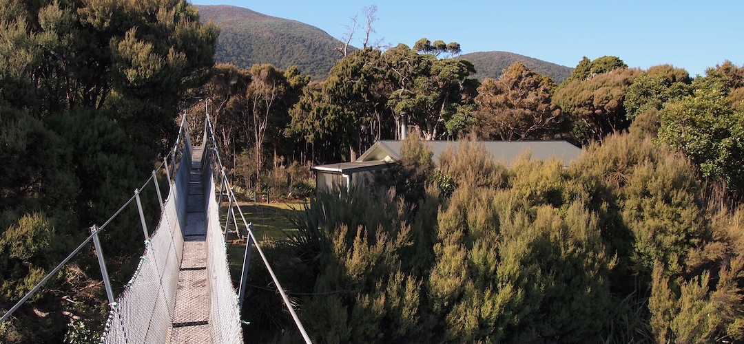
Just when I was starting to look for a map to work out how much more wading might be required the answer offered itself: none. That was the boat landing, the swingbridge, the hut.
I agree with DOC the best move is not to bridge the swamps. It’s a fragile landscape. Better they use the old 1930s road and boardwalks to Mason Bay than turn this Freds Camp track into a proper World War 1 quagmire.
Still only 2 30 pm. The day has returned to that blue sky familiarity, so plenty of time to proceed up the overwhelmingly grandiose named Rocky Mountain, which should more appropriately be termed Pebbly Knob. I finally sight one of the island’s white-tailed deer, you can see why they are referred to as “Grey Ghosts”. The climb is sharp enough but my ascension muscles are well tuned these days, and 550 m isn’t much without a pack.
From the top the view is of Mt Anglem/Hananui now with a dusting of snow, round where I walked at Big Hellfire, some sand dunes at Mason Bay, not so distant, the cloudless Mt Rakeahua, I can make out the radio tower, just, and, even the vicinity of Freds Camp, well, the water of Patterson Inlet. And down below plenty of small lakes scattered reflecting the light, they go on a bit in the low-lying centre of the island.
Nice.
The bonus on the way down is to spot a kākā, a large native parrot, must be close to being endangered these days with its bright orange splashes on its belly and strangely silver head feathers in this late afternoon light.
A guide to the night’s accommodation: Freshwater Landing Hut