Christmas Day.
Merry Christmas.
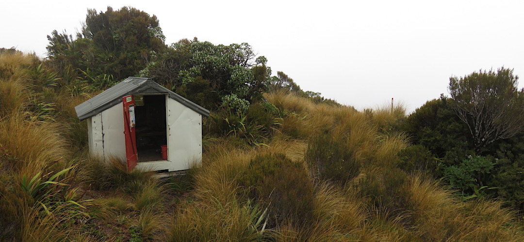
I’m on my lonesome for my third year in a row. Last year I was at the tiny garden shed-like Lonely Lake Hut near the Dragons Teeth in Kahurangi National Park, the year before camping at Twin Pool crossing in the Tin Range on Stewart Island/Rakiura. Next year I might be a little more sociable.
Mizzle in the morning and I briefly contemplate just stopping for the day. But if I did that there would be no chance of making it to the Styx River, so I pack up and am off before 9 am.
There is some easy walking to get to an old hunters’ rock bivvy half an hour away. Then it’s into the stream, down to the Toaroha River for some rock hopping.
At one point I contemplate the clambering required immediately ahead and decide it’s easier to cross the river. 50 m later I cross back.
There is another boulder festival to wind my way through and I have an epiphany. This might have been a long time coming but I realise I am not enjoying this.
I look at the map with the Zit Saddle climb, up a big 1300 m to the saddle at 1464 m, and then the immediate drop down the upper Kokatahi River. Then up the Crawford River to Lathrop Saddle, 1572 m, to get to the Styx River. Then off to Otira via Newton Pass.
It’s looking daunting and suddenly, for once, I realise it’s all going to be too much river bashing and getting over those passes. Both physically and mentally.
Remember there is often little in the way of track, particularly in the upper reaches.
The part I have the least aversion to is the climbing to the saddle bit. Yep. The climbing. At least you can see where your hands and feet are going.
If I peel off and follow my original route up to Crystal Bivvy and Yeats Ridge Hut that will fill in a day or two, then I can go out via Cedar Flats down the Toaroha River and end up almost at Lake Kaniere. That’s a small diversion but basically following this river straight out.
If the weather was brighter I might consider Zit Saddle and compromise by going out the next river, the Kokatahi River via Boo Boo Hut.
But this continual gloom and dampness is starting to have an effect. Following down the river ain’t a particularly fun experience on my lonesome. So Crystal Bivvy for the night. It’s not far downstream and then just a 500 m climb and I’m at the Hut. No worries.
I’ve got a New Plan. I feel some of the weight off my shoulders.
I crossed the Toaroha again, easy enough, shorts not even wet. Oh, they are from the wet undergrowth and sitting on damp mossy rocks.
I consult the map and discover there is still a couple of kilometres to the turnoff. Maybe I won’t miss out on what has been termed in the Top Toaroha hut book as the “Unclimbable Rock” after all.
Also in the hut book in the last year was an account of a lone tramper who managed to dislocate her shoulder, and had to use her emergency locator beacon. Two hours 15 minutes later a chopper with a medic aboard arrived. Yeah, I have one of those ELBs.
There were a few newish slips to be negotiated, basically climbing immediately above them, holding onto the cutty grass with a 15 m drop beneath. I’m not too concerned by the height these days, just focus on where my feet are.
The Unclimbable Rock was encountered, but there was a knotted rope to abseil down. I lowered my pack first, using my spare bootlaces knotted together. Actually they are cut from some tent guy rope, fairly robust. I just had to be careful not to let the still heavy pack jerk too much on the way down, and tumble into another fast flowing river. That descent wasn’t so hard for once, it would be harder to crawl up with a pack.
But maybe that wasn’t the unclimbable part. I had to get up the other side.
Man, that would be terrible the other way on your own. Having to get down where you can’t see your footholds, and the fact you need to scrabble across the rock. There was one strategically placed tree root that I had a long enough reach to grab, and a paucity of schist footholds an inch deep.
Somehow, nervous energy I guess, I managed to scratch my way up. With a companion and a length of rope these would be less of an issue.
Whew! That was the Unclimbable Rock over with. Except almost immediately there was another slip. More flax style gripping involved.
The river was really dropping fast at this point, just a jumble of garage and house-sized boulders. Plenty of thundering of water for dramatic acoustic accompaniment.
Then, a sight I didn’t want to see. An orange DOC trail marker, there had been an occasional one here and there, although at this point a cut track is clear high above the river. But the marker was attached to a broadleaf tree down at the bottom of a very new slip.
Man, this one won’t be easy to circumvent.
I had to take to the scrubbery, so steep that I was lowering my pack in three goes. It looked a long way down, but the handholds were good, no pack on my back helped. I swung down like a monkey.
Suddenly I was back out on the track. Yahoo!!
What else is this river going to come up with?
Just one more slimy rock crack to edge across, then I hit Crystal Creek and shortly after the turnoff to the bivvy. Now for the climb. After the climb from Poets (was that just yesterday morning?), this was only about two-thirds as much.
Once again it didn’t muck around with meandering anywhere. Just straight up. And up. This was one of the tracks no longer maintained by DOC, and has been taken over by an enthusiastic group of locals calling themselves Permolat. They have taken over the responsibility for 58 of the more obscure huts in Westland that DOC had wanted to remove in 2002. All the track and hut maintenance is done by volunteers, although there may be money available for some capital expenses from a DOC fund.
Once again it was steep, (did I mention that?), but the main issue was after the 1000 m mark where I burst out of the Dracophyllum scrub into Tussockland.
There were occasional snow poles but they were bleached white, with white Permolat markers, and visibility in the gloom was, err, limited. I really was up in the clouds.
Now, where is that hut? Just march on up across the hill, there is a tarn nearby, and eventually I would stumble on another pole in the gloom, checking my GPS for the hut location. 216 m to go, 76 m.
Yup, I was pleased to greet the hut. When I say hut of course I mean bivvy. It has a two-thirds-height door, and it is not possible to stand inside. You crawl in, there’s a reason they have been termed a “dogbox”. Sitting on the single bunk is good, with light from a single louvred window in the end wall. No mattress. Two people would be cozy. Three would have to be very good friends.
It’s not cold, but everything is damp. My sleeping bag had a go at drying out at Bluff Hut. It still comes with a few non-fluffy, non-dry lumps.
Oh well, it’s only a few kilometres over the tops to the four person Yeats Ridge Hut. I’ll do some stretching there.
A guide to the night’s accommodation: Crystal Bivvy